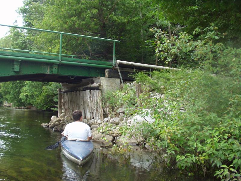
Stream Bank Erosion Site BRD-S100
Total Severity: Restored
Information collected by:
Boardman River Watershed,
Boardman River
Blair Twp,
Grand Traverse County
GPS Coordinates: 44.6628311
, -85.61123059
T26N
R11W
Sec 11
Owned by Private
Site Access:Yes
Bank Details
Erosion Trend:Stable
Bank Conditions
Cause(s) of Erosion
Recommended Treatment(s)
General Information
Both banks are included at this private bridge crossing.
Stabilization efforts are looking great here.
Stabilization efforts are looking great here.
BMPs Completed:
rock rip rap
new bridge abutments
new bridge abutments

