Stream Bank Erosion Site BRD-S103
Total Severity: Moderate
Total Points: 30
Information collected by:
Boardman River Watershed,
Boardman River
Blair Twp,
Grand Traverse County
GPS Coordinates: 44.66846874
, -85.62141681
T26N
R11W
Sec 10
Owned by Private
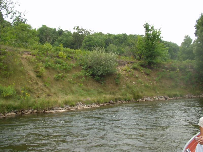
Bank Details
Which Bank? Left
Condition:Toe eroding; upper bank is stable
Erosion Trend:Stable
Percent Veg. Cover: 50-100%
Bank Conditions
Stream Width:45 ft.
Stream Depth:12 in.
Stream Current:Fast
Eroded Bank Length:300 ft.
Eroded Bank Height:18 ft.
Slope of Eroded Bank:1:1
Texture: Sand
Cause(s) of Erosion
-Bend in river
-Foot traffic
Recommended Treatment(s)
-Rock riprap
-Cover structure
-Tree revetments
General Information
Some slumping at middle of stretch.
BMPs Completed:
lunker structures
rock rip rap
topsoil
rock rip rap
topsoil
Total Points
30
�