Stream Bank Erosion Site BRD-S356
Total Severity: Minor
Total Points: 26
Information collected by:
Boardman River Watershed,
North Branch Boardman River
Kalkaska Twp,
Kalkaska County
GPS Coordinates: 44.7047127
, -85.32681027
T27N
R8W
Sec 30
Owned by State
Site Access:Yes
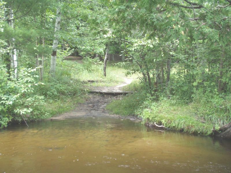
Bank Details
Which Bank? Right
Condition:Both toe and upper bank eroding
Erosion Trend:Increasing
Percent Veg. Cover: 0-10%
Bank Conditions
Stream Width:32 ft.
Stream Depth:30 in.
Stream Current:Moderate
Eroded Bank Length:8 ft.
Eroded Bank Height:4 ft.
Slope of Eroded Bank:4:1 or greater
Texture: Sand
Cause(s) of Erosion
-Bank seepage
-Foot traffic
Recommended Treatment(s)
-Bank revegetation
-Cover structure
Other Treatments:Stormwater diversion birm, coir fiber rolls, filter fabric
General Information
Locals call this access site the "Government Property".
Total Points
26
�