Stream Bank Erosion Site BRD-S375
Total Severity: Restored
Total Points: 29
Information collected by:
Boardman River Watershed,
North Branch Boardman River
Kalkaska Twp,
Kalkaska County
GPS Coordinates: 44.7038241
, -85.28625794
T27N
R8W
Sec 28
Owned by State
Site Access:Yes
Bank Details
Which Bank? Right
Erosion Trend:Stable
Percent Veg. Cover: 50-100%
Bank Conditions
Stream Width:15 ft.
Stream Depth:36 in.
Stream Current:Moderate
Eroded Bank Length:100 ft.
Eroded Bank Height:30 ft.
Slope of Eroded Bank:1:1
Texture: Sand
Cause(s) of Erosion
-Bend in river
-Foot traffic
Recommended Treatment(s)
Other Treatments:Check cribbing for exposed nails
General Information
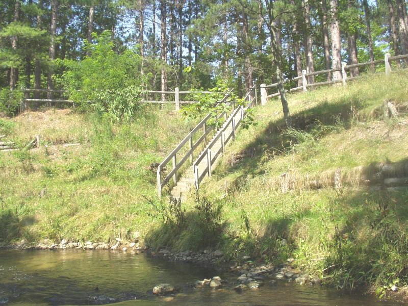
Access site off of S. River Road.
Cribbing has rotted, still functioning as designed.
Cribbing has rotted, still functioning as designed.
BMPs Completed:
cribbing
steps
plantings
fencing
rock rip rap
steps
plantings
fencing
rock rip rap
Total Points
29
�