Stream Bank Erosion Site BRD-S376
Total Severity: Restored
Total Points: 25
Information collected by:
Boardman River Watershed,
North Branch Boardman River
Kalkaska Twp,
Kalkaska County
GPS Coordinates: 44.70372743
, -85.28731779
T27N
R8W
Sec 28
Owned by State
Site Access:Yes
Bank Details
Which Bank? Right
Erosion Trend:Stable
Percent Veg. Cover: 50-100%
Bank Conditions
Stream Width:18 ft.
Stream Depth:24 in.
Stream Current:Moderate
Eroded Bank Length:55 ft.
Eroded Bank Height:40 ft.
Slope of Eroded Bank:2:1
Texture: Sand
Cause(s) of Erosion
-Bend in river
-Foot traffic
Recommended Treatment(s)
-Rock riprap
Other Treatments:Check cribbing for exposed nails, fix fencing
General Information
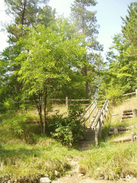
Access site off of S. River Road.
Replace one section of fence, refresh rock because the filter fabric has been exposed.
Replace one section of fence, refresh rock because the filter fabric has been exposed.
BMPs Completed:
fencing
cribbing
steps
plantings
rock rip rap
filter fabric
cribbing
steps
plantings
rock rip rap
filter fabric
Total Points
25
�