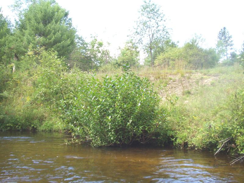
Stream Bank Erosion Site BRD-S381
Total Severity: Restored
Total Points: 22
Information collected by:
Boardman River Watershed,
North Branch Boardman River
Kalkaska Twp,
Kalkaska County
GPS Coordinates: 44.70296557
, -85.29188045
T27N
R8W
Sec 28
Owned by Private
Bank Details
Which Bank? Right
Erosion Trend:Stable
Percent Veg. Cover: 50-100%
Bank Conditions
Stream Width:22 ft.
Stream Depth:20 in.
Stream Current:Moderate
Eroded Bank Length:30 ft.
Eroded Bank Height:15 ft.
Slope of Eroded Bank:1:1
Texture: Sand
Cause(s) of Erosion
-Foot traffic
Recommended Treatment(s)
-Bank revegetation
General Information
Foot traffic has made the upper bank raw, erosion is not reaching the river, however. Needs topsoil.
Total Points
22
�