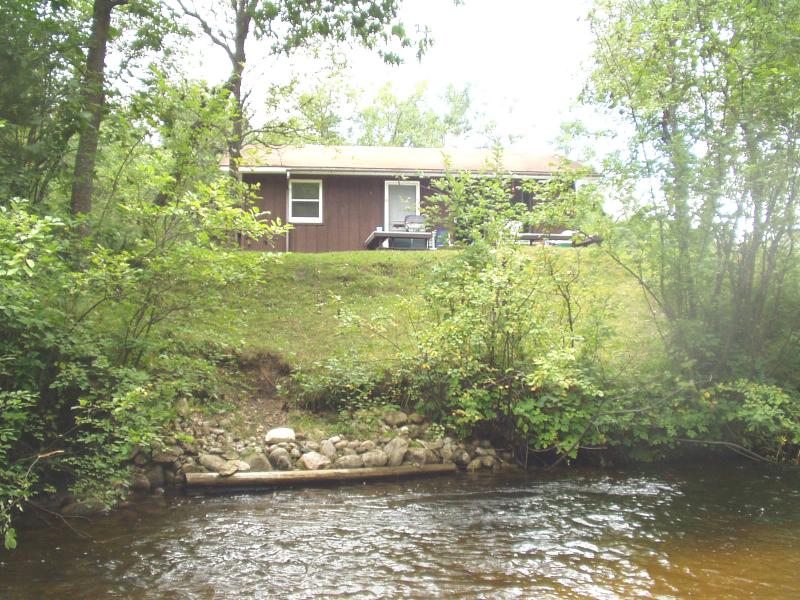
Stream Bank Erosion Site BRD-S382
Total Severity: Moderate
Total Points: 29
Information collected by:
Boardman River Watershed,
North Branch Boardman River
Kalkaska Twp,
Kalkaska County
GPS Coordinates: 44.70194599
, -85.29296339
T27N
R8W
Sec 28
Owned by Private
Bank Details
Which Bank? Left
Condition:Both toe and upper bank eroding
Erosion Trend:Increasing
Percent Veg. Cover: 50-100%
Bank Conditions
Stream Width:20 ft.
Stream Depth:24 in.
Stream Current:Moderate
Eroded Bank Length:25 ft.
Eroded Bank Height:6 ft.
Slope of Eroded Bank:Vertical
Texture: Loam
Cause(s) of Erosion
-Bend in river
-Foot traffic
Recommended Treatment(s)
-Tree revetments
-Constructed access
Other Treatments:Monitor this site
General Information
Consider three lunker structures with rock rip rap upstream of site for fish habitat and improved stability of the bank.
Total Points
29
�