Stream Bank Erosion Site BRD-S383
Total Severity: Moderate
Total Points: 28
Information collected by:
Boardman River Watershed,
North Branch Boardman River
Kalkaska Twp,
Kalkaska County
GPS Coordinates: 44.69974906
, -85.26461013
T27N
R8W
Sec 27
Owned by Private
Site Access:Yes - trail atop hill
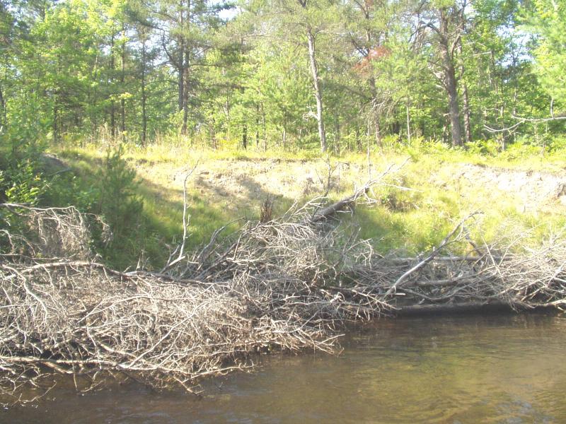
Bank Details
Which Bank? Left
Condition:Toe is stable; upper bank eroding
Erosion Trend:Stable
Percent Veg. Cover: 50-100%
Bank Conditions
Stream Width:28 ft.
Stream Depth:30 in.
Stream Current:Moderate
Eroded Bank Length:300 ft.
Eroded Bank Height:12 ft.
Slope of Eroded Bank:1:1
Texture: Sand
Cause(s) of Erosion
-Bend in river
-Foot traffic
Recommended Treatment(s)
Other Treatments:Monitor this site, especially downstream end
General Information
CMI restoration
BMPs Completed:
bank shaping
whole tree revetments
whole tree revetments
Total Points
28
�