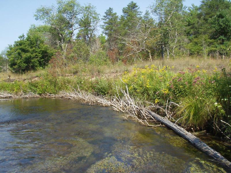
Stream Bank Erosion Site BRD-S384
Total Severity: Minor
Total Points: 25
Information collected by:
Boardman River Watershed,
North Branch Boardman River
Kalkaska Twp,
Kalkaska County
GPS Coordinates: 44.70022846
, -85.26392007
T27N
R8W
Sec 27
Owned by Private
Bank Details
Which Bank? Right
Condition:Toe is stable; upper bank eroding
Erosion Trend:Decreasing
Percent Veg. Cover: 50-100%
Bank Conditions
Stream Width:20 ft.
Stream Depth:36 in.
Stream Current:Moderate
Eroded Bank Length:175 ft.
Eroded Bank Height:6 ft.
Slope of Eroded Bank:1:1
Texture: Sand
Cause(s) of Erosion
-Bend in river
Recommended Treatment(s)
Other Treatments:Monitor this site
General Information
CMI restoration is looking good
BMPs Completed:
bank shaping
whole tree revetments
whole tree revetments
Total Points
25
�