Stream Bank Erosion Site BRD-S389
Total Severity: Minor
Total Points: 23
Information collected by:
Boardman River Watershed,
North Branch Boardman River
Kalkaska Twp,
Kalkaska County
GPS Coordinates: 44.69797915
, -85.25673109
T27N
R8W
Sec 34
Owned by State
Site Access:Yes
Bank Details
Which Bank? Left
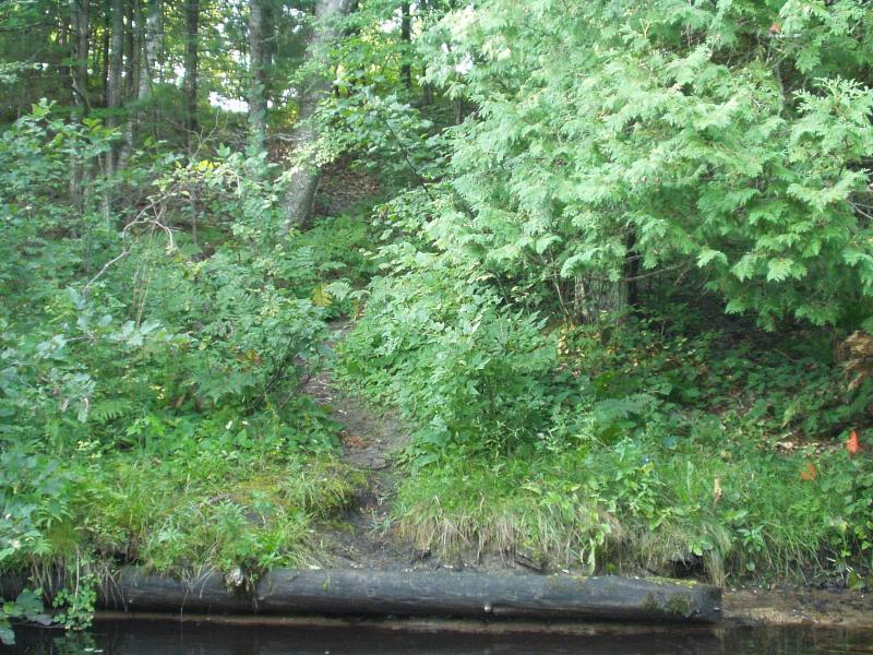
Condition:Toe eroding; upper bank is stable
Erosion Trend:Stable
Percent Veg. Cover: 0-10%
Bank Conditions
Stream Width:25 ft.
Stream Depth:20 in.
Stream Current:Moderate
Eroded Bank Length:10 ft.
Eroded Bank Height:1 ft.
Slope of Eroded Bank:1:1
Texture: Sand
Cause(s) of Erosion
-Foot traffic
Recommended Treatment(s)
General Information
Minor erosion downstream of access, much improved.
BMPs Completed:
stormwater diversion birm
Total Points
23
�