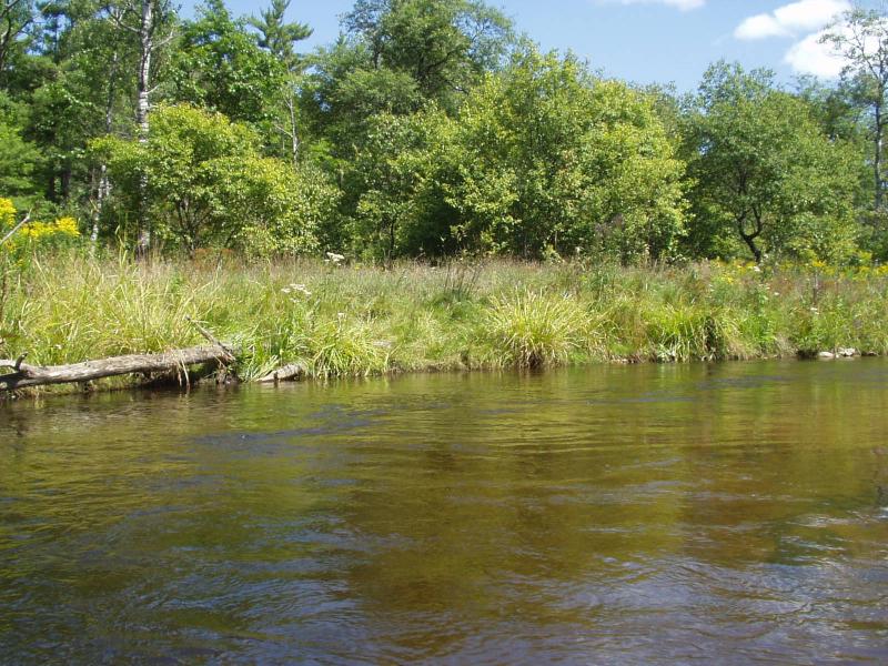
Stream Bank Erosion Site BRD-S462
Total Severity: Restored
Information collected by:
Boardman River Watershed,
North Branch Boardman River
Whitewater Twp,
Grand Traverse County
GPS Coordinates: 44.69950891
, -85.3488626
T27N
R9W
Sec 36
Owned by State
Bank Details
Erosion Trend:Stable
Bank Conditions
Cause(s) of Erosion
Recommended Treatment(s)
-Tree revetments
Other Treatments:Monitor this site, especially upstream end
General Information
Slumping at upstream end
BMPs Completed:
lunker structures
rock rip rap
coir fiber rolls
rock rip rap
coir fiber rolls
�