Stream Bank Erosion Site BRD-S467
Total Severity: Moderate
Total Points: 30
Information collected by:
Boardman River Watershed,
North Branch Boardman River
Whitewater Twp,
Grand Traverse County
GPS Coordinates: 44.69640911
, -85.35274677
T27N
R9W
Sec 36
Owned by State
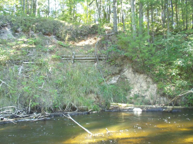
Bank Details
Which Bank? Left
Condition:Both toe and upper bank eroding
Erosion Trend:Increasing
Percent Veg. Cover: 10-50%
Bank Conditions
Stream Width:30 ft.
Stream Depth:24 in.
Stream Current:Moderate
Eroded Bank Length:12 ft.
Eroded Bank Height:10 ft.
Slope of Eroded Bank:Vertical
Texture: Sand
Cause(s) of Erosion
-Bend in river
Recommended Treatment(s)
-Tree revetments
Other Treatments:Coir fiber rolls
General Information
BMPs Completed:
cribbing
woody debris
topsoil
woody debris
topsoil
Total Points
30
�