Stream Bank Erosion Site BRD-S761
Total Severity: Severe
Total Points: 34
Information collected by:
Boardman River Watershed,
North Branch Boardman River
Kalkaska Twp,
Kalkaska County
GPS Coordinates: 44.70065012
, -85.26585549
T27N
R8W
Sec 27
Owned by Private
Site Access:???
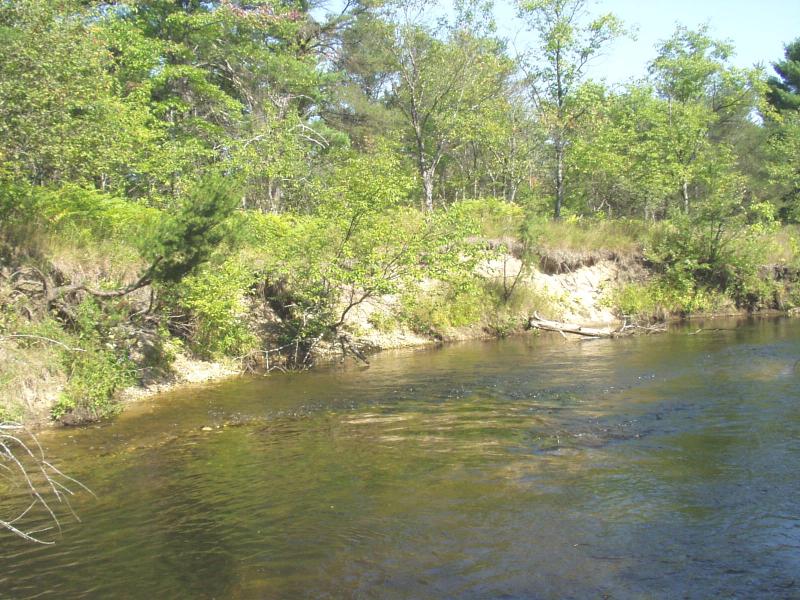
Bank Details
Which Bank? Left
Condition:Both toe and upper bank eroding
Erosion Trend:Increasing
Percent Veg. Cover: 10-50%
Bank Conditions
Stream Width:20 ft.
Stream Depth:24 in.
Stream Current:Moderate
Eroded Bank Length:160 ft.
Eroded Bank Height:8 ft.
Slope of Eroded Bank:Vertical
Texture: Sand
Cause(s) of Erosion
-Bend in river
Recommended Treatment(s)
-Bank revegetation
-Cover structure
-Tree revetments
Other Treatments:Coir fiber rolls
General Information
BMP Option #1: lunker structures with coir fiber rolls (preferred)
BMP option #2: whole tree revetments and bank shaping
BMP option #2: whole tree revetments and bank shaping
Total Points
34
�