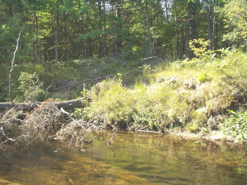
Stream Bank Erosion Site BRD-S762
Total Severity: Severe
Total Points: 33
Information collected by:
Boardman River Watershed,
North Branch Boardman River
Kalkaska Twp,
Kalkaska County
GPS Coordinates: 44.70143841
, -85.26583177
T27N
R8W
Sec 27
Owned by Private
Bank Details
Which Bank? Right
Condition:Toe is stable; upper bank eroding
Erosion Trend:Increasing
Percent Veg. Cover: 0-10%
Bank Conditions
Stream Width:25 ft.
Stream Depth:16 in.
Stream Current:Moderate
Eroded Bank Length:70 ft.
Eroded Bank Height:10 ft.
Slope of Eroded Bank:Vertical
Texture: Sand
Cause(s) of Erosion
-Bend in river
-Foot traffic
Recommended Treatment(s)
-Bank revegetation
-Tree revetments
General Information
No woody debris along bank
Total Points
33
�