Stream Bank Erosion Site BRD-S771
Total Severity: Moderate
Total Points: 28
Information collected by:
Boardman River Watershed,
North Branch Boardman River
Kalkaska Twp,
Kalkaska County
GPS Coordinates: 44.70229281
, -85.26831993
T27N
R8W
Sec 27
Owned by Private
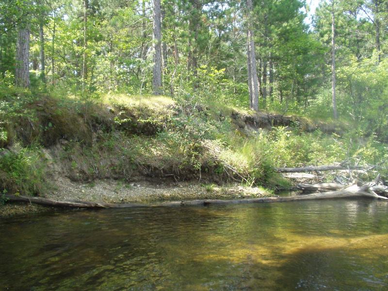
Bank Details
Which Bank? Left
Condition:Toe is stable; upper bank eroding
Erosion Trend:Increasing
Percent Veg. Cover: 10-50%
Bank Conditions
Stream Width:16 ft.
Stream Depth:18 in.
Stream Current:Moderate
Eroded Bank Length:30 ft.
Eroded Bank Height:10 ft.
Slope of Eroded Bank:Vertical
Cause(s) of Erosion
-Bend in river
Recommended Treatment(s)
-Tree revetments
General Information
Soil Texture: sand / gravel
Downstream area stabilized by existing woody debris jam
Downstream area stabilized by existing woody debris jam
Total Points
28
�