Stream Bank Erosion Site BRD-S774
Total Severity: Severe
Total Points: 36
Information collected by:
Boardman River Watershed,
North Branch Boardman River
Kalkaska Twp,
Kalkaska County
GPS Coordinates: 44.70429603
, -85.2729886
T27N
R8W
Sec 27
Owned by Private
Site Access:Yes
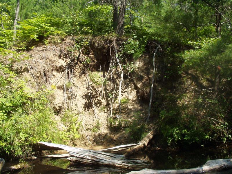
Bank Details
Which Bank? Right
Condition:Both toe and upper bank eroding
Erosion Trend:Increasing
Percent Veg. Cover: 0-10%
Bank Conditions
Stream Width:20 ft.
Stream Depth:48 in.
Stream Current:Moderate
Eroded Bank Length:15 ft.
Eroded Bank Height:18 ft.
Slope of Eroded Bank:Vertical
Texture: Sand
Cause(s) of Erosion
-Bend in river
-Foot traffic
Recommended Treatment(s)
-Bank revegetation
-Rock riprap
-Cover structure
General Information
Address at the same time as S773, can access with a backhoe.
Total Points
36
�