Stream Bank Erosion Site BRD-S776
Total Severity: Moderate
Total Points: 31
Information collected by:
Boardman River Watershed,
North Branch Boardman River
Kalkaska Twp,
Kalkaska County
GPS Coordinates: 44.70379965
, -85.27924187
T27N
R8W
Sec 28
Owned by Private
Site Access:Yes
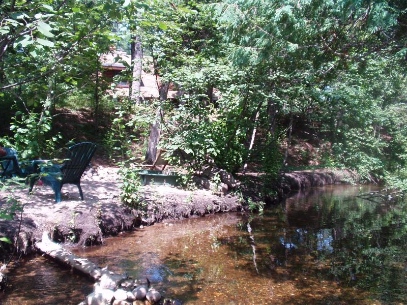
Bank Details
Which Bank? Right
Condition:Both toe and upper bank eroding
Erosion Trend:Increasing
Percent Veg. Cover: 0-10%
Bank Conditions
Stream Width:30 ft.
Stream Depth:12 in.
Stream Current:Moderate
Eroded Bank Length:80 ft.
Eroded Bank Height:1 ft.
Slope of Eroded Bank:Vertical
Texture: Loam
Cause(s) of Erosion
-Foot traffic
Recommended Treatment(s)
-Rock riprap
-Cover structure
-Constructed access
General Information
This is a homeowner's beach site.
Heavy foot traffic.
Heavy foot traffic.
Total Points
31
�