Stream Bank Erosion Site BRD-S786
Total Severity: Severe
Total Points: 38
Information collected by:
Boardman River Watershed,
North Branch Boardman River
Kalkaska Twp,
Kalkaska County
GPS Coordinates: 44.69904461
, -85.29968923
T27N
R8W
Sec 32
Owned by State
Site Access:???
Bank Details
Which Bank? Left
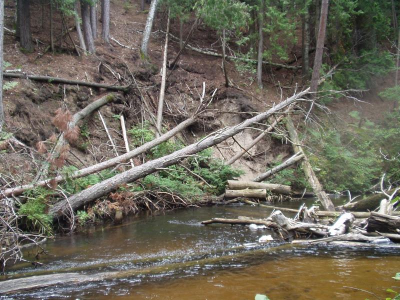
Condition:Both toe and upper bank eroding
Erosion Trend:Increasing
Percent Veg. Cover: 0-10%
Bank Conditions
Stream Width:40 ft.
Stream Depth:20 in.
Stream Current:Moderate
Eroded Bank Length:30 ft.
Eroded Bank Height:25 ft.
Slope of Eroded Bank:Vertical
Texture: Sand
Cause(s) of Erosion
-Bend in river
Recommended Treatment(s)
Other Treatments:Clear or reposition some woody debris from inside of bend to relieve hydraulic pressure on outer bank
General Information
Woody debris accumulation has redirected the river flow into the outer bank. This site will likely heal naturally.
Total Points
38
�