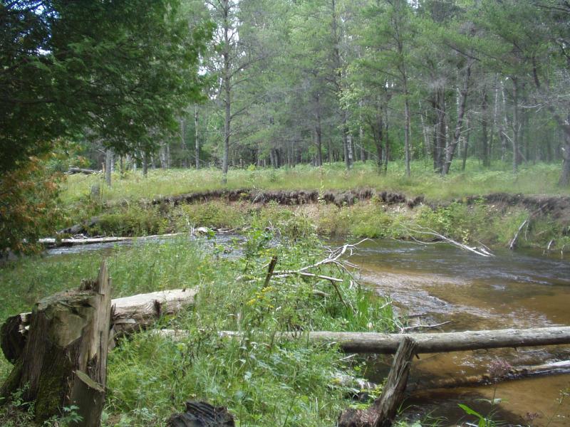
Stream Bank Erosion Site BRD-S787
Total Severity: Severe
Total Points: 34
Information collected by:
Boardman River Watershed,
North Branch Boardman River
Kalkaska Twp,
Kalkaska County
GPS Coordinates: 44.69949765
, -85.30026196
T27N
R8W
Sec 32
Owned by State
Site Access:???
Bank Details
Which Bank? Right
Condition:Both toe and upper bank eroding
Erosion Trend:Increasing
Percent Veg. Cover: 10-50%
Bank Conditions
Stream Width:20 ft.
Stream Depth:36 in.
Stream Current:Fast
Eroded Bank Length:70 ft.
Eroded Bank Height:5 ft.
Slope of Eroded Bank:Vertical
Texture: Gravel
Cause(s) of Erosion
-Bend in river
Other causes: Trees have been cut down into the river and are deflecting current into the outer bank
Recommended Treatment(s)
-Bank revegetation
-Rock riprap
-Cover structure
-Tree revetments
General Information
Total Points
34
�