Stream Bank Erosion Site BRD-S788
Total Severity: Minor
Total Points: 27
Information collected by:
Boardman River Watershed,
North Branch Boardman River
Kalkaska Twp,
Kalkaska County
GPS Coordinates: 44.69958967
, -85.30682386
T27N
R8W
Sec 32
Owned by State
Private
Private
Site Access:Yes - just downstream of Boardman River Road
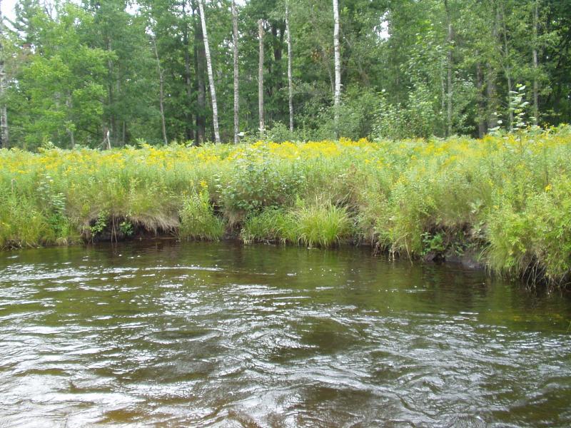
Bank Details
Which Bank? Right
Condition:Both toe and upper bank eroding
Erosion Trend:Increasing
Percent Veg. Cover: 50-100%
Bank Conditions
Stream Width:16 ft.
Stream Depth:56 in.
Stream Current:Moderate
Eroded Bank Length:40 ft.
Eroded Bank Height:5 ft.
Slope of Eroded Bank:Vertical
Texture: Loam
Cause(s) of Erosion
-Bend in river
Recommended Treatment(s)
-Bank revegetation
-Cover structure
-Tree revetments
Other Treatments:Coir fiber rolls, filter fabric
General Information
Slumping
Total Points
27
�