Stream Bank Erosion Site BRD-S789
Total Severity: Severe
Total Points: 34
Information collected by:
Boardman River Watershed,
North Branch Boardman River
Kalkaska Twp,
Kalkaska County
GPS Coordinates: 44.69826678
, -85.31027989
T27N
R8W
Sec 32
Owned by Private
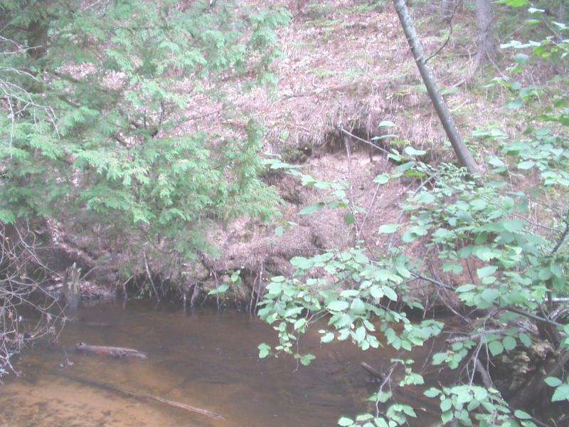
Bank Details
Which Bank? Left
Condition:Both toe and upper bank eroding
Erosion Trend:Increasing
Percent Veg. Cover: 0-10%
Bank Conditions
Stream Width:35 ft.
Stream Depth:12 in.
Stream Current:Moderate
Eroded Bank Length:45 ft.
Eroded Bank Height:7 ft.
Slope of Eroded Bank:Vertical
Texture: Sand
Cause(s) of Erosion
-Bend in river
Recommended Treatment(s)
-Rock riprap
-Cover structure
-Tree revetments
General Information
Total Points
34
�