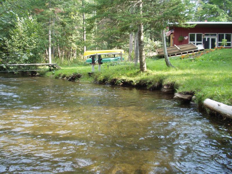
Stream Bank Erosion Site BRD-S869
Total Severity: Moderate
Total Points: 31
Information collected by:
Boardman River Watershed,
South Branch Boardman River
Union Twp,
Grand Traverse County
GPS Coordinates: 44.67424639
, -85.39338239
T26N
R9W
Sec 3
Owned by Private
Site Access:Yes
Bank Details
Which Bank? Left
Condition:Both toe and upper bank eroding
Erosion Trend:Increasing
Percent Veg. Cover: 0-10%
Bank Conditions
Stream Width:28 ft.
Stream Depth:18 in.
Stream Current:Moderate
Eroded Bank Length:100 ft.
Eroded Bank Height:2 ft.
Slope of Eroded Bank:4:1 or greater
Texture: Stratified
Cause(s) of Erosion
-Bank seepage
-Foot traffic
Other causes: No Buffer Strip
Recommended Treatment(s)
-Bank revegetation
-Rock riprap
-Cover structure
General Information
Soil texture: loam / gravel
Mowing to edge of stream
Slumping
Mowing to edge of stream
Slumping
Total Points
31
�