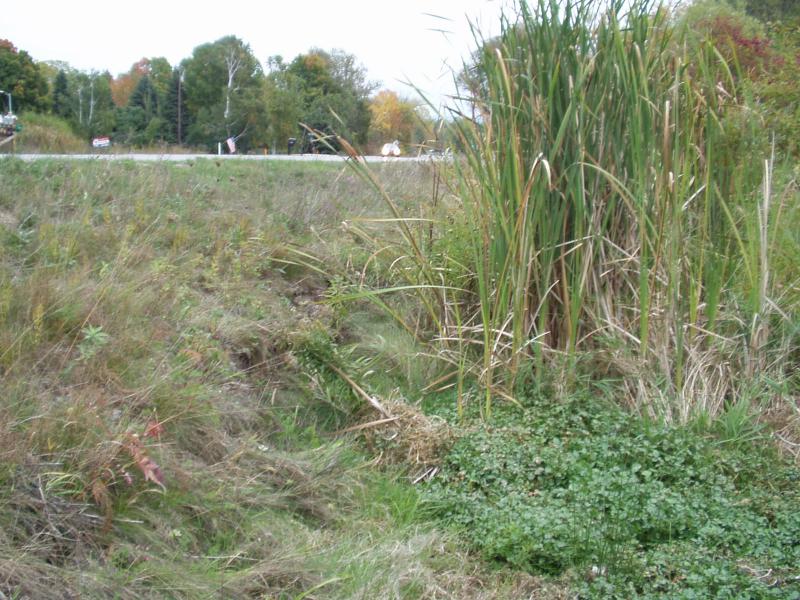
Stream Bank Erosion Site BRD-S883
Total Severity: Moderate
Total Points: 31
Information collected by:
Boardman River Watershed,
Kids Creek Tributary A
Garfield Twp,
Grand Traverse County
GPS Coordinates: 44.75898684
, -85.65687951
T27N
R11W
Sec 8
Owned by Private
Site Access:Yes
Bank Details
Which Bank? Left
Condition:Both toe and upper bank eroding
Erosion Trend:Increasing
Percent Veg. Cover: 10-50%
Bank Conditions
Stream Width:2 ft.
Stream Depth:2 in.
Stream Current:Slow
Eroded Bank Length:100 ft.
Eroded Bank Height:5 ft.
Slope of Eroded Bank:1:1
Texture: Sand
Cause(s) of Erosion
Other causes: road / storm runoff
Recommended Treatment(s)
Other Treatments:Alternative stormwater / nutrient manaement
General Information
Drainage dtch along the south side of Cedar Run Road. Enters the main channel just upstream of S881. This ditch is not an intermittent stream, it flows constantly. The wetlands in the ditch are filling with sand from road runoff. Nutrient loading is a concern as well.
Total Points
31

