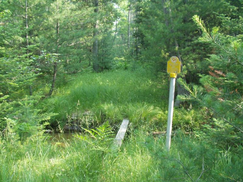
Stream Bank Erosion Site BRD-S706
Total Severity: None
Information collected by:
Boardman River Watershed,
Twenty-two Creek
Union Twp,
Grand Traverse County
GPS Coordinates: 44.63218605
, -85.40429124
T26N
R9W
Sec 21
Owned by State
Site Access:Yes - bike trail from oil well site / gas pipeline
Bank Details
Which Bank? Both
Erosion Trend:Stable
Bank Conditions
Cause(s) of Erosion
-Foot traffic
Recommended Treatment(s)
-Obstruction removal
-Tree revetments
General Information
Potential ORV access point - no current evidence. 2" x 6" x 12' plank is being used as a foot bridge, old debris jam was placed by people as a crossing.

