Stream Bank Erosion Site BRD-S390
Total Severity: None
Total Points: 30
Information collected by:
Boardman River Watershed,
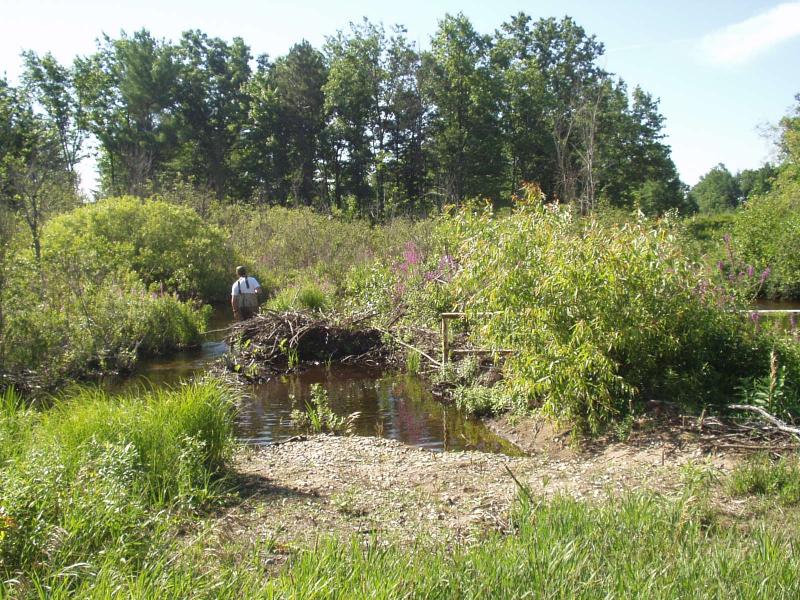
North Branch Boardman River
Kalkaska Twp,
Kalkaska County
GPS Coordinates: 44.72266902
, -85.19355453
T27N
R7W
Sec 20
Owned by Private
Local Government
Local Government
Site Access:Yes - pipeline
Bank Details
Which Bank? Both
Condition:Both toe and upper bank eroding
Erosion Trend:Increasing
Percent Veg. Cover: 10-50%
Bank Conditions
Stream Width:20 ft.
Stream Depth:12 in.
Stream Current:Moderate
Eroded Bank Length:25 ft.
Eroded Bank Height:2 ft.
Slope of Eroded Bank:3:1
Texture: Sand
Cause(s) of Erosion
-Obstructions in river
-Bend in river
-Foot traffic
Other causes: ORV's in the stream
Recommended Treatment(s)
-Constructed access
General Information
Heavy beaver activity
Vehicles entering stream - going around existing barrier.
Purple loosestrife evident
Vehicles entering stream - going around existing barrier.
Purple loosestrife evident
BMPs Completed:
access barrier
Total Points
30
�