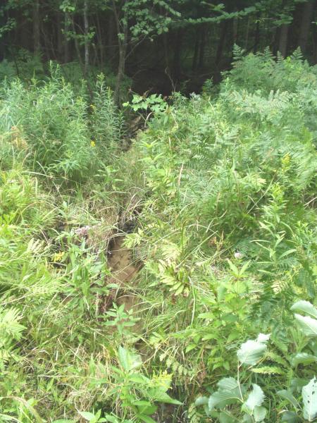
Stream Bank Erosion Site BRD-S751
Total Severity: None
Information collected by:
Boardman River Watershed,
Jackson Creek
Paradise Twp,
Grand Traverse County
GPS Coordinates: 44.55548276
, -85.4751815
T25N
R10W
Sec 24
Owned by Private
Site Access:Yes - pipeline
Bank Details
Which Bank? Both
Erosion Trend:Stable
Bank Conditions
Stream Width:2 ft.
Stream Depth:2 in.
Stream Current:Moderate
Cause(s) of Erosion
Recommended Treatment(s)
Other Treatments:Monitor this site
General Information
Just upstream of Gleaner Hall Road (S750). Potential access for ORVs, but no current evidence of destructive use. Utility clearing occured on same day as survey (08-11-05). Contact utility company about clearing practices.

