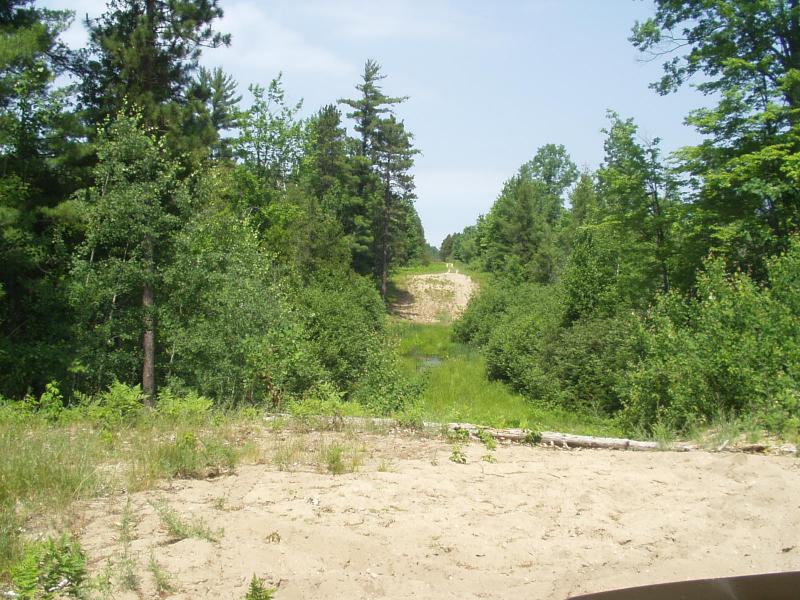
Stream Bank Erosion Site BRD-S711
Total Severity: Minor
Information collected by:
Boardman River Watershed,
Carpenter Creek Tributary
Union Twp,
Grand Traverse County
GPS Coordinates: 44.64686123
, -85.37382159
T26N
R9W
Sec 14
Owned by State
Private
Private
Site Access:Yes - Lake Road extension (pipeline)
Bank Details
Which Bank? Both
Erosion Trend:Increasing
Bank Conditions
Cause(s) of Erosion
Other causes: ORV's in the stream
Recommended Treatment(s)
-Constructed access
General Information
Wetland / headwater area. No defined stream channel. Evidence of ORV activity includes tires in wetland, firepits nearby, large ruts through wetland.
Utility crossing - Lake Road ext.
Utility crossing - Lake Road ext.

