Stream Bank Erosion Site BRD-S372
Total Severity: Moderate
Total Points: 29
Information collected by:
Boardman River Watershed,
North Branch Boardman River
Kalkaska Twp,
Kalkaska County
GPS Coordinates: 44.73987879
, -85.14314527
T27N
R7W
Sec 15
Owned by Private
Site Access:Yes
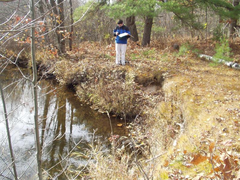
Bank Details
Which Bank? Right
Condition:Both toe and upper bank eroding
Erosion Trend:Increasing
Percent Veg. Cover: 50-100%
Bank Conditions
Stream Width:18 ft.
Stream Depth:10 in.
Stream Current:Moderate
Eroded Bank Length:40 ft.
Eroded Bank Height:5 ft.
Slope of Eroded Bank:Vertical
Texture: Sand
Cause(s) of Erosion
-Bend in river
-Foot traffic
Recommended Treatment(s)
-Bank revegetation
-Rock riprap
-Cover structure
General Information
Access Area
Total Points
29
�