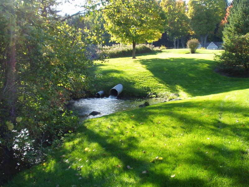
Stream Bank Erosion Site BRD-S895
Total Severity: None
Information collected by:
Boardman River Watershed,
Beitner Creek
Blair Twp,
Grand Traverse County
GPS Coordinates: 44.67127097
, -85.63816778
T26N
R11W
Sec 9
Owned by Private
Site Access:Yes
Bank Details
Bank Conditions
Cause(s) of Erosion
Recommended Treatment(s)
General Information
Outlet channel from a pond adjacent to the creek.
No erosion concerns here. Watch for thermal / nutrient loading. Water temperature measurements should be taken to determine the amount of thermal loading to Beitner Creek. Heavy vegetation levels in outlet channel, but not in Beitner Creek downstream.
No erosion concerns here. Watch for thermal / nutrient loading. Water temperature measurements should be taken to determine the amount of thermal loading to Beitner Creek. Heavy vegetation levels in outlet channel, but not in Beitner Creek downstream.

