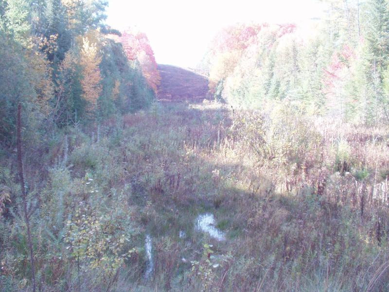
Stream Bank Erosion Site BRD-S054
Total Severity: None
Information collected by:
Boardman River Watershed,
Beitner Creek Tributary
Blair Twp,
Grand Traverse County
GPS Coordinates: 44.65811167
, -85.64048634
T26N
R11W
Sec 9
Owned by Private
Site Access:Yes - off Hoosier Valley Road
Bank Details
Which Bank? Both
Erosion Trend:Stable
Bank Conditions
Cause(s) of Erosion
Recommended Treatment(s)
-Constructed access
General Information
Not a current erosion concern.
Potential for ORV access, area should be blocked off with barriers / fencing.
Potential for ORV access, area should be blocked off with barriers / fencing.
BMPs Completed:
Earthen birm to discourage access.

