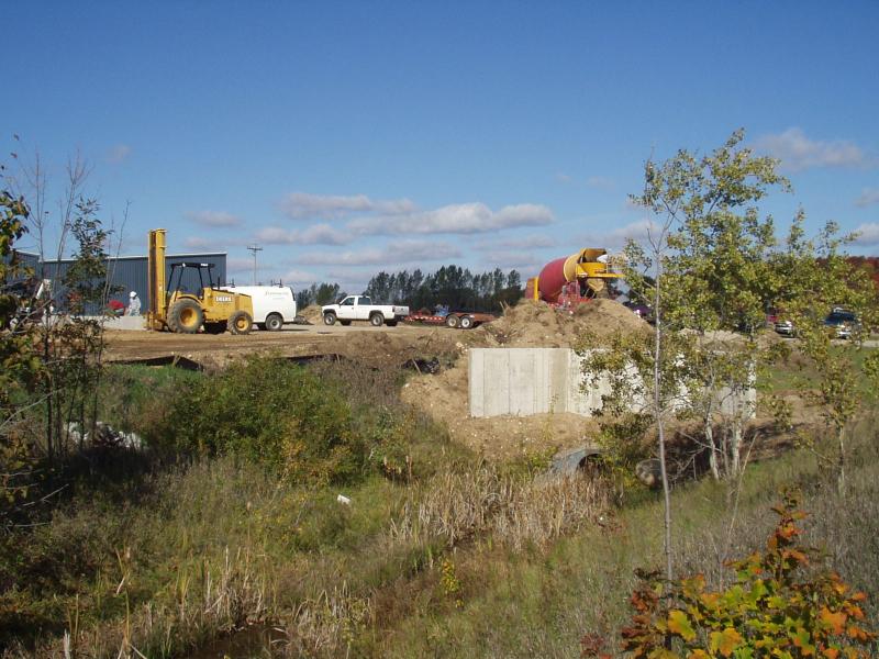
Stream Bank Erosion Site BRD-S061
Total Severity: None
Information collected by:
Boardman River Watershed,
Beitner Creek Tributary
Blair Twp,
Grand Traverse County
GPS Coordinates: 44.66587899
, -85.67678758
T26N
R11W
Sec 7
Owned by Private
Site Access:Yes
Bank Details
Which Bank? Both
Erosion Trend:Stable
Bank Conditions
Cause(s) of Erosion
Recommended Treatment(s)
General Information
Cox pond Outlet
Most pollutants / sediments filter out before water ever reaches the main creek. This pond outlet is intermittent.
Most pollutants / sediments filter out before water ever reaches the main creek. This pond outlet is intermittent.
BMPs Completed:
rock rip rap

