Stream Bank Erosion Site BRD-S889
Total Severity: Severe
Total Points: 33
Information collected by:
Boardman River Watershed,
Robbin's Creek
Garfield Twp,
Grand Traverse County
GPS Coordinates: 44.70002008
, -85.63158103
T27N
R11W
Sec 34
Owned by Private
Site Access:???
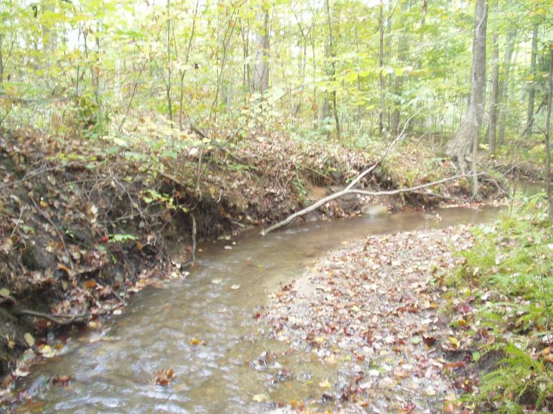
Bank Details
Which Bank? Left
Condition:Both toe and upper bank eroding
Erosion Trend:Increasing
Percent Veg. Cover: 0-10%
Bank Conditions
Stream Width:3 ft.
Stream Depth:6 in.
Stream Current:Moderate
Eroded Bank Length:25 ft.
Eroded Bank Height:4 ft.
Slope of Eroded Bank:Vertical
Texture: Sand
Cause(s) of Erosion
-Bend in river
Recommended Treatment(s)
-Obstruction removal
-Bank revegetation
-Tree revetments
Other Treatments:Coir fiber rolls
General Information
Major debris jam downstream should be removed - not necessarily an erosion concern.
Total Points
33
�