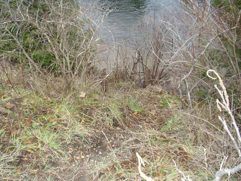
Stream Bank Erosion Site BRD-S935
Total Severity: Restored
Information collected by:
Boardman River Watershed,
Boardman River
Garfield Twp,
Grand Traverse County
GPS Coordinates: 44.70925253
, -85.62153911
T27N
R11W
Sec 27
Owned by Local Government
Site Access:Yes
Bank Details
Which Bank? Right
Erosion Trend:Stable
Bank Conditions
Cause(s) of Erosion
Recommended Treatment(s)
General Information
Former access just downstream of Sabin Dam Canoe Portage.
Project Details
Year Inventory Completed: 2005
BMPs Completed:
cribbing
seed & mulch
topsoil
brush placement
seed & mulch
topsoil
brush placement

