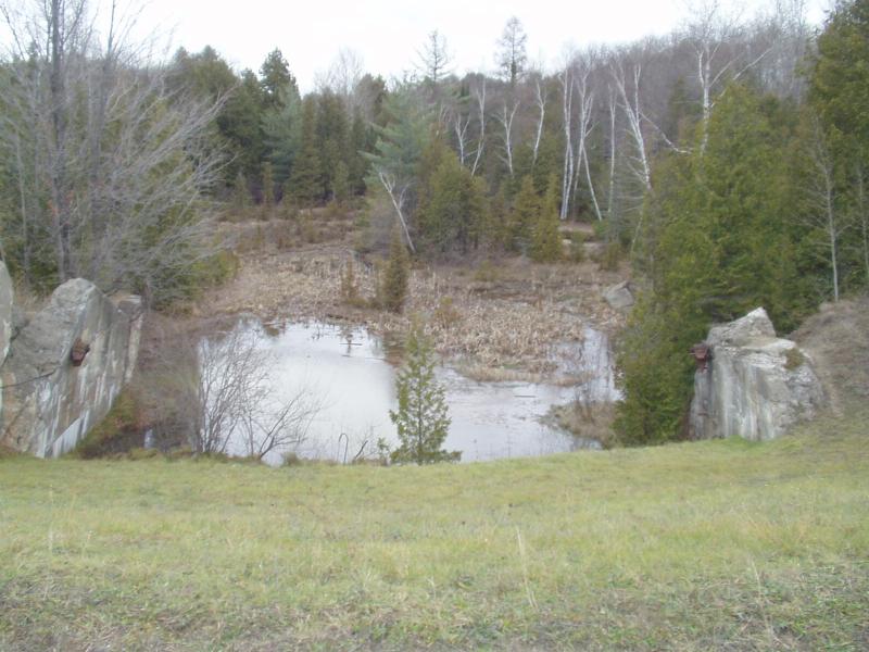
Stream Bank Erosion Site BRD-S159
Total Severity: None
Information collected by:
Boardman River Watershed,
Boardman River Tributary
Garfield Twp,
Grand Traverse County
GPS Coordinates: 44.70805033
, -85.62166133
T27N
R11W
Sec 27
Owned by Local Government
Site Access:Yes
Bank Details
Which Bank? Both
Bank Conditions
Cause(s) of Erosion
Recommended Treatment(s)
General Information
Seep area at old Sabin Dam spillway. Concrete retaining walls ar crumbling.

