Stream Bank Erosion Site BRD-S156
Total Severity: Restored
Information collected by:
Boardman River Watershed,
Boardman River
Garfield Twp,
Grand Traverse County
GPS Coordinates: 44.70909121
, -85.6221328
T27N
R11W
Sec 27
Owned by Local Government
Site Access:Yes
Bank Details
Which Bank? Right
Erosion Trend:Stable
Bank Conditions
Cause(s) of Erosion
Recommended Treatment(s)
-Constructed access
General Information
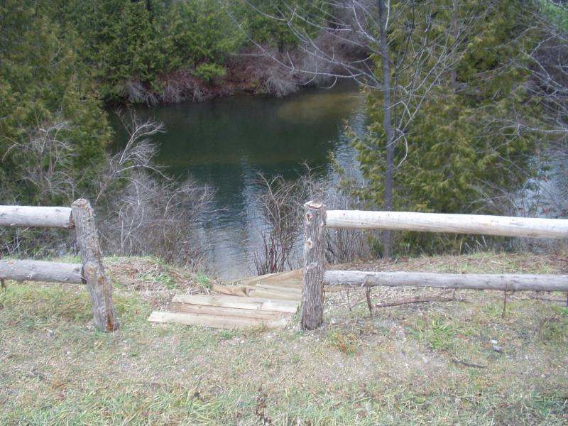
People are walking around the fence.
Directly across from the mouth of Jack's Creek.
Directly across from the mouth of Jack's Creek.
BMPs Completed:
fencing
steps
topsoil
seed & mulch
steps
topsoil
seed & mulch

