Stream Bank Erosion Site BRD-S352
Total Severity: Minor
Total Points: 20
Information collected by:
Boardman River Watershed,
Miller Creek Tributary
Garfield Twp,
Grand Traverse County
GPS Coordinates: 44.72166676
, -85.63543903
T27N
R11W
Sec 22
Owned by Private
Site Access:???
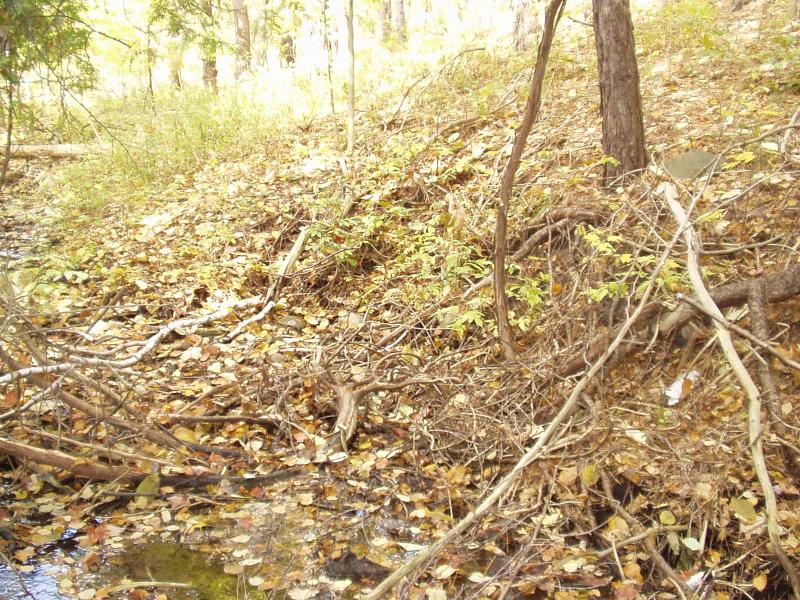
Bank Details
Which Bank? Left
Condition:Toe is stable; upper bank eroding
Erosion Trend:Stable
Percent Veg. Cover: 10-50%
Bank Conditions
Stream Width:4 ft.
Stream Depth:3 in.
Stream Current:Moderate
Eroded Bank Length:20 ft.
Eroded Bank Height:5 ft.
Slope of Eroded Bank:1:1
Texture: Sand
Cause(s) of Erosion
-Bend in river
Recommended Treatment(s)
General Information
Stabilizing well, creek has shifted away from the eroding bank.
Total Points
20
�