Stream Bank Erosion Site BRD-S419
Total Severity: None
Information collected by:
Boardman River Watershed,
Carpenter Creek
Union Twp,
Grand Traverse County
GPS Coordinates: 44.64224524
, -85.37789935
T26N
R9W
Owned by State
Site Access:Yes
Bank Details
Which Bank? Both
Erosion Trend:Stable
Bank Conditions
Cause(s) of Erosion
Recommended Treatment(s)
General Information
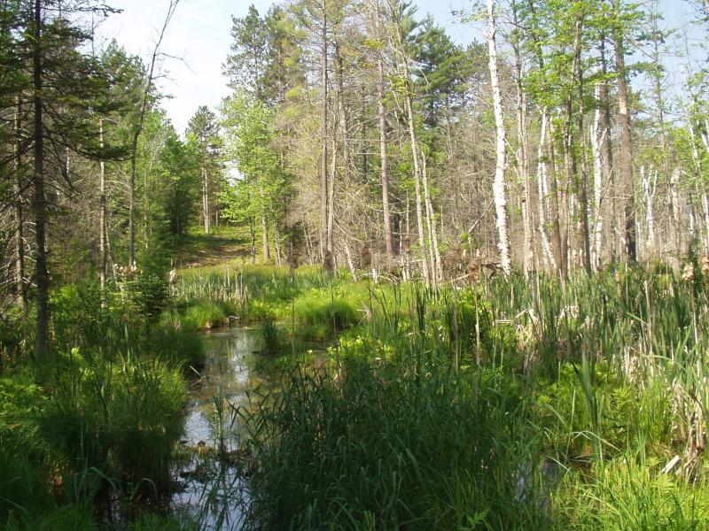
Location: Common line between section 15 & 22.
Utility crossing.
Beaver activity has the flooded river valley. Potential ORV access point, but no recent evidence of activity.
Utility crossing.
Beaver activity has the flooded river valley. Potential ORV access point, but no recent evidence of activity.
�