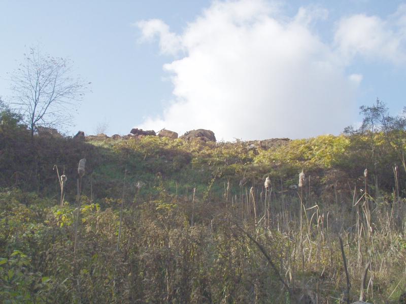
Stream Bank Erosion Site BRD-S342
Total Severity: None
Information collected by:
Boardman River Watershed,
Miller Creek
Garfield Twp,
Grand Traverse County
GPS Coordinates: 44.72377906
, -85.62181173
T27N
R11W
Sec 22
Owned by Private
Bank Details
Bank Conditions
Cause(s) of Erosion
Recommended Treatment(s)
-Constructed access
General Information
Riparian filling was previously reported at this site.
No longer practiced, site has reverted to a beautifiul wetland.
No longer practiced, site has reverted to a beautifiul wetland.

