Stream Bank Erosion Site BRD-S905
Total Severity: Severe
Total Points: 32
Information collected by:
Boardman River Watershed,
Miller Creek
Garfield Twp,
Grand Traverse County
GPS Coordinates: 44.71520792
, -85.65120026
T27N
R11W
Sec 28
Owned by Private
Site Access:Yes
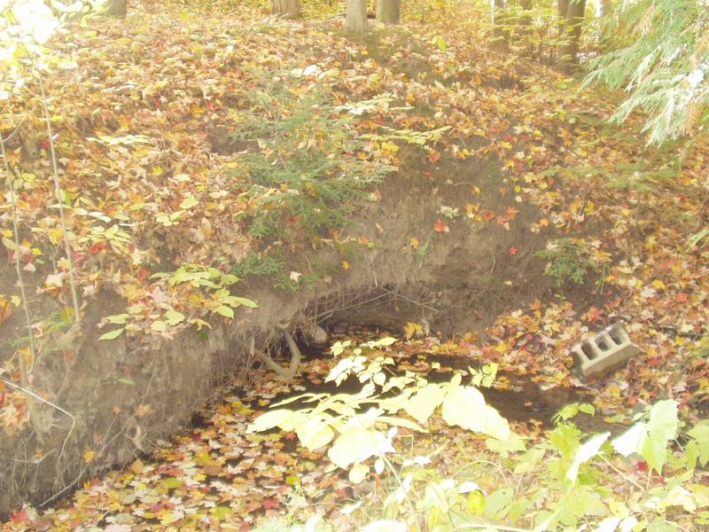
Bank Details
Which Bank? Right
Condition:Both toe and upper bank eroding
Erosion Trend:Increasing
Percent Veg. Cover: 0-10%
Bank Conditions
Stream Width:5 ft.
Stream Depth:4 in.
Stream Current:Slow
Eroded Bank Length:20 ft.
Eroded Bank Height:8 ft.
Slope of Eroded Bank:Vertical
Texture: Sand
Cause(s) of Erosion
-Bend in river
Recommended Treatment(s)
-Bank revegetation
Other Treatments:Coir fiber rolls
General Information
Total Points
32
�