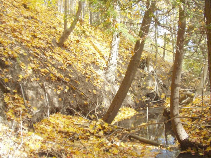
Stream Bank Erosion Site BRD-S907
Total Severity: Severe
Total Points: 35
Information collected by:
Boardman River Watershed,
Miller Creek
Garfield Twp,
Grand Traverse County
GPS Coordinates: 44.7220696
, -85.63279118
T27N
R11W
Sec 22
Owned by Private
Site Access:Yes
Bank Details
Which Bank? Left
Condition:Both toe and upper bank eroding
Erosion Trend:Stable
Percent Veg. Cover: 0-10%
Bank Conditions
Stream Width:10 ft.
Stream Depth:3 in.
Stream Current:Moderate
Eroded Bank Length:50 ft.
Eroded Bank Height:25 ft.
Slope of Eroded Bank:Vertical
Texture: Sand
Cause(s) of Erosion
-Bend in river
Other causes: extremely steep banks
Recommended Treatment(s)
Other Treatments:monitor
General Information
Very little can be done here.
Since the site is mostly stable, it should be monitored for now.
Since the site is mostly stable, it should be monitored for now.
Total Points
35

