Small Dam Site AUSD_097
Au Sable River Watershed, East Branch Big Creek
Oscoda County
Information collected by:
GPS Coordinates: 44.77012029
, -84.32457657
T28N
R01E
Sec 33
Access Road: Granger
State Ownership
0 Upstream Miles Reconnected
Ranking: undefined
Site Location
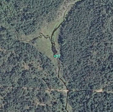
Aerial
Land Use Information
Upstream-Forest
Upstream-Wetland
Downstream-Forest
Downstream-Wetland
Impoundment or Dam Use Information
Impoundment/Dam Other:
Beaver
Structural Information
Barrier Type
Beaver Dam
Construction Materials
Earth
Wood
Other Construction Materials:
Beaver dam
Other Site Features
Upstream Conditions
Wetland Flooding
Is there evidence of erosion?
Upstream
At Structure
Downstream
Can bankfull width upstream of Impoundment be determined? no
Direct Stream Measurements
Stream
Spillway
Structure Characteristics
Height of Head (ft): 2
Other Pertinent Information
Physical Condition Ranking: undefined
Dam has ability to regulate water level? no
Is the dam being actively managed? no
Is another dam or road crossing visible up or down stream? no
Are there any invasive species easily identified? no
This page last updated on 7/6/2022.
�