Small Dam Site AUSD_108
Au Sable River Watershed, Beaver Creek
Tributary to South Branch Au Sable River
Crawford County
Information collected by:
GPS Coordinates: 44.52343326
, -84.67928835
T25N
R03W
Sec 33
Access Road: Reiger Rd
Private Ownership
0 Upstream Miles Reconnected
Ranking: undefined
Site Location
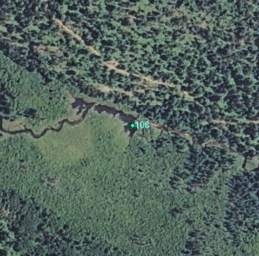
Aerial
Land Use Information
Upstream-Forest
Downstream-Forest
Impoundment or Dam Use Information
Impoundment/Dam Other:
Beaver Dam
Structural Information
Barrier Type
Beaver Dam
Construction Materials
Other Site Features
Upstream Conditions
Is there evidence of erosion?
Upstream
At Structure
Downstream
Can bankfull width upstream of Impoundment be determined? no
Direct Stream Measurements
Stream
Spillway
Structure Characteristics
Other Pertinent Information
Physical Condition Ranking: undefined
Dam has ability to regulate water level? no
Is the dam being actively managed? no
Is another dam or road crossing visible up or down stream? no
Are there any invasive species easily identified? no
This page last updated on 7/6/2022.
�