Road Stream Crossing Site BT_B040
Betsie River Watershed, Dair Creek
Landis Rd
Weldon Twp,
Benzie County
Information collected by:
Site Location
GPS Coordinates: 44.55751
, -86.01568
T25N
R14W
Sec 16
Owned by State
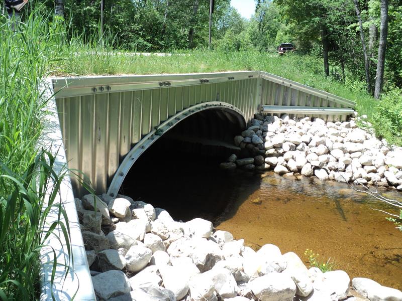
Inlet
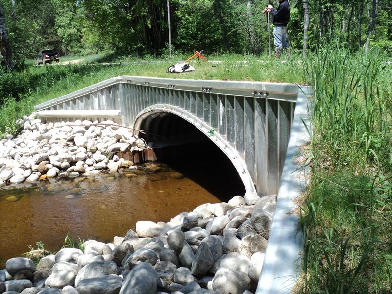
Outlet
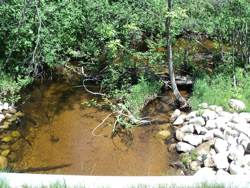
Upstream Conditions
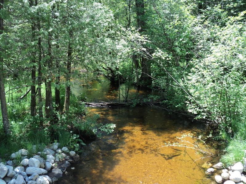
Downstream Conditions
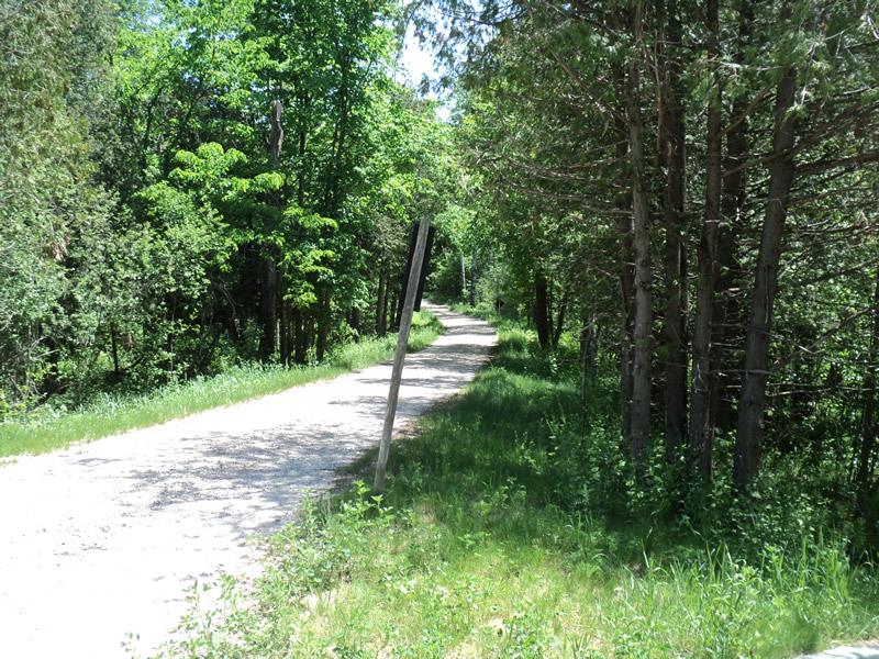
Road Approach - Left
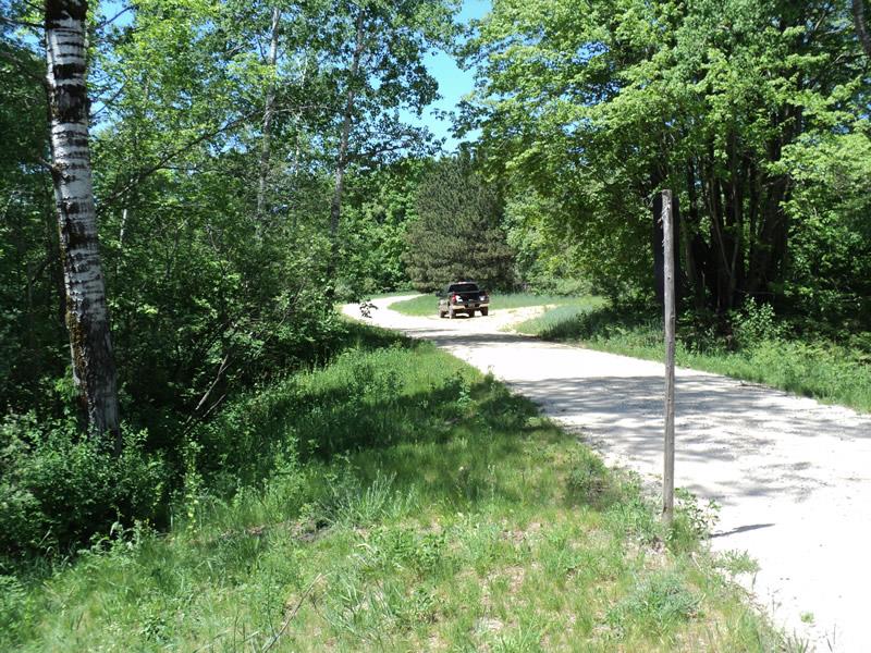
Road Approach - Right
Crossing Information
Type of Crossing: culvert(s)
Number of Structures: 1
Structure Shape: Open Bottom Arch
Inlet Type: Wingwall 30-70 Degree
Outlet Type: At Stream Grade
Structure Material: Metal
Structure Substrate: Sand
General Conditions: New
Structure Interior: smooth
Dimensions of Structure: Length 27 ft.
, Width 15 ft.
, Height 5.5 ft.
Structure Inlet
Water Depth: 1.3 ft.
Embedded Depth of Structure: 0 ft.
Water Velocity*: 1.7 ft./sec.
Structure Outlet
Water Depth: 1 ft.
Embedded Depth of Structure: 0 ft.
Water Velocity*: 1.4 ft./sec.
*Water Velocities were measured 0.8 ft. below Surface
(with Meter)
Additional Comments
Project coordinated by CRA.
Stream Information
Stream Flow: Less than Bankfull
Scour Pool: Length 0 ft.
, Width 0 ft.
, Depth 0 ft.
Upstream Pond: Length 0 ft.
, Width 0 ft.
, Depth 0 ft.
Riffle Information
Water Depth: 1.1 ft.
Bankfull Width: 22.5 ft.
Wetted Width: 16.5 ft.
Water Velocity: 1.7 ft./sec.
(Measured with Meter)
Dominant Substrate: Sand
Road Information
Gravel
County Road
Road Condition: Fair
Road Width at Culvert: 12 ft.
Location of Low Point: At Stream
Runoff Path: Roadway
Embankments
Upstream
Fill Depth: 1.5 ft.
Slope: Vertical
Downstream
Fill Depth: 1.5 ft.
Slope: Vertical
Approaches
Left Approach
Length: 330 ft.
Slope: 1% to 5%
Vegetation: Heavy
LS Factor: 0.466
Erosion: 0.5084 tons/year
Right Approach
Length: 390 ft.
Slope: 1% to 5%
Vegetation: Heavy
LS Factor: 0.478
Erosion: 0.6163 tons/year
Erosion Information
Total Erosion at Crossing: 1.1246 tons/year
Extent of Erosion: Moderate
Summary Information
Erosion is an area of concern for this site.
�