Road Stream Crossing Site BT_B060
Betsie River Watershed, Dair Creek
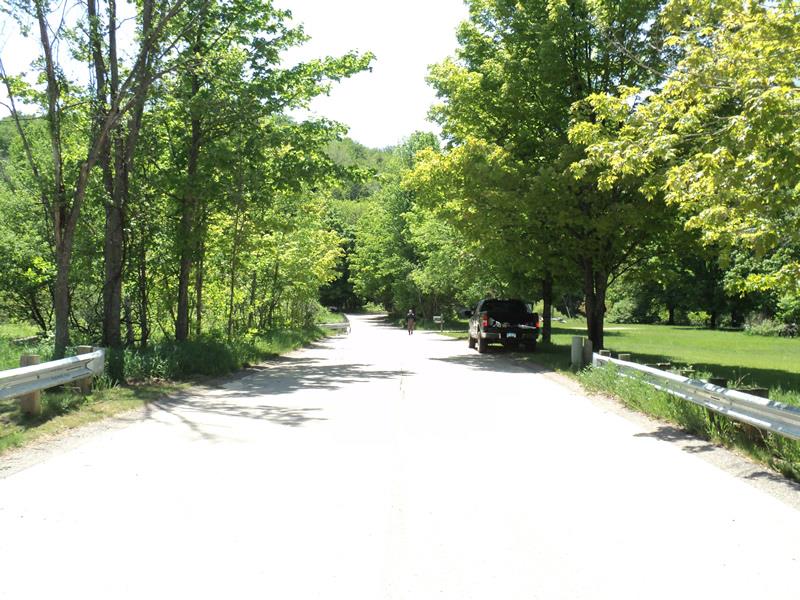
Old King Rd
Weldon Twp,
Benzie County
Information collected by:
Site Location
GPS Coordinates: 44.552
, -86.05476
T25N
R14W
Sec 19
Owned by Private
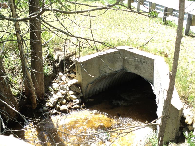
Inlet
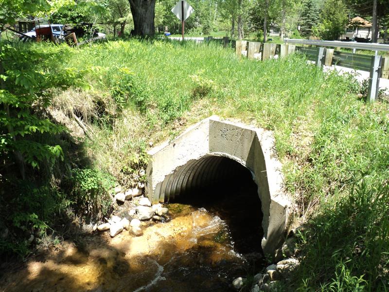
Outlet
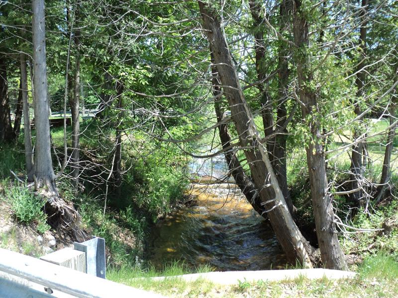
Upstream Conditions
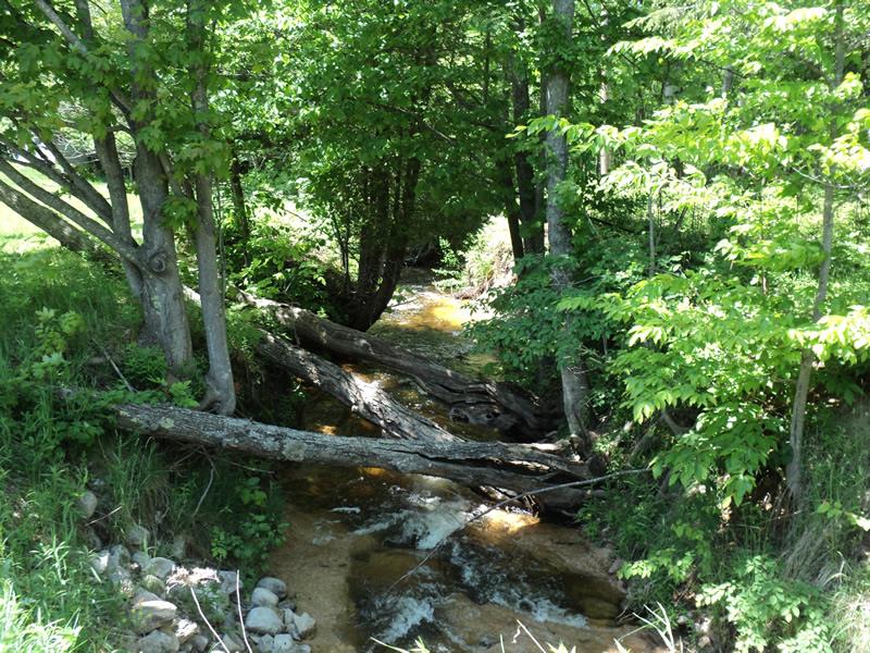
Downstream Conditions
Road Approach - Left
Road Approach - Right
Crossing Information
Type of Crossing: culvert(s)
Number of Structures: 1
Structure Shape: Open Bottom Arch
Inlet Type: Wingwall 30-70 Degree
Outlet Type: At Stream Grade
Structure Material: Metal
Structure Substrate: Mixture
General Conditions: Good
Structure Interior: corrugated
Dimensions of Structure: Length 48 ft.
, Width 10 ft.
, Height 5 ft.
Structure Inlet
Water Depth: 0.9 ft.
Embedded Depth of Structure: 0 ft.
Water Velocity*: 4.5 ft./sec.
Structure Outlet
Water Depth: 1.3 ft.
Embedded Depth of Structure: 0 ft.
Water Velocity*: 3.5 ft./sec.
*Water Velocities were measured 0.7 ft. below Surface
(with Meter)
Stream Information
Stream Flow: Less than Bankfull
Scour Pool: Length 0 ft.
, Width 0 ft.
, Depth 0 ft.
Upstream Pond: Length 0 ft.
, Width 0 ft.
, Depth 0 ft.
Riffle Information
Water Depth: 0.9 ft.
Bankfull Width: 12 ft.
Wetted Width: 9 ft.
Water Velocity: 2 ft./sec.
(Measured with Meter)
Dominant Substrate: Clay
Road Information
Paved
County Road
Road Condition: Good
Road Width at Culvert: 24 ft.
Location of Low Point: Other
Runoff Path: Roadway
Embankments
Upstream
Fill Depth: 2.4 ft.
Slope: Vertical
Downstream
Fill Depth: 1.6 ft.
Slope: Vertical
Approaches
Left Approach
Length: 0 ft.
Slope: Less Than 1%
Vegetation: Heavy
LS Factor: 0.05
Erosion: 0 tons/year
Right Approach
Length: 270 ft.
Slope: 1% to 5%
Vegetation: Heavy
LS Factor: 0.448
Erosion: 0.096 tons/year
Erosion Information
Total Erosion at Crossing: 0.096 tons/year
Extent of Erosion: Moderate
Notes:
High amounts of clay, especially on the outlet/downstream side.
Summary Information
Erosion is an area of concern for this site.
A future visit to this site is recommended.
Check on water velocities.
�