Road Stream Crossing Site BT_B061
Betsie River Watershed, Betsie River
Old King Rd
Weldon Twp,
Benzie County
Information collected by:
Site Location
GPS Coordinates: 44.55136163
, -86.0558331
T25N
R14W
Sec 19
Owned by Private
Structure is NOT Perched
Total Erosion: 0.2285 tons/year
Severity: Restored
Year Inventoried: 2014
Upstream Conditions
Downstream Conditions
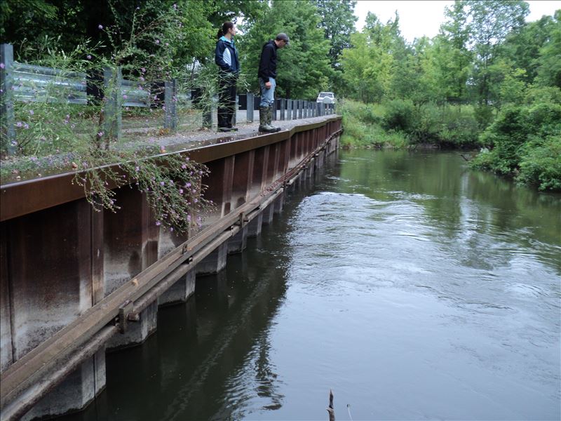
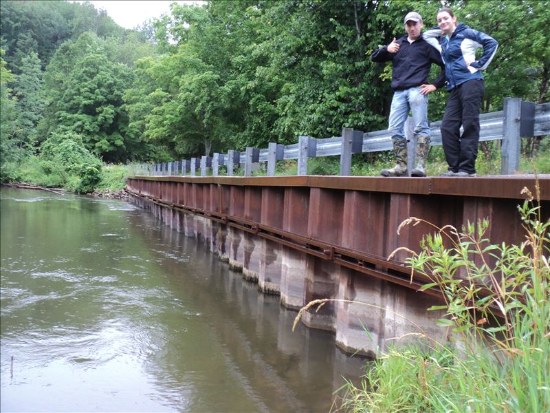
Crossing Information
Type of Crossing: Other
Structure Shape: Round
Inlet Type: Other
Outlet Type: Other
Structure Material: Metal
Structure Substrate: Mixture
General Conditions: Good
Structure Interior: corrugated
Dimensions of Structure: Length 145 ft.
, Width 1 ft.
, Height 5 ft.
Structure is NOT Perched
Additional Comments
Streambank road-way containment wall
Stream Information
Stream Flow: Less than Bankfull
Scour Pool: Length 0 ft.
, Width 0 ft.
, Depth 0 ft.
Upstream Pond: Length 0 ft.
, Width 0 ft.
, Depth 0 ft.
Dominant Substrate: Organics
Road Information
Paved
County Road
Road Condition: Good
Road Width at Culvert: 20 ft.
Location of Low Point: Other
Runoff Path: Roadway
Fill Depth: 0 ft.
Slope: Vertical
Fill Depth: 0 ft.
Slope: Vertical
Approaches
Left Approach
Length: 530 ft.
Slope: 1% to 5%
Vegetation: Partial
LS Factor: 0.652
Erosion: 0.2285 tons/year
Right Approach
Length: 0 ft.
Slope: Less Than 1%
Vegetation: Partial
LS Factor: 0.05
Erosion: 0 tons/year
Erosion Information
Total Erosion at Crossing: 0.2285 tons/year
Extent of Erosion: Minor
Summary Information
Erosion is an area of concern for this site.
�