Road Stream Crossing Site PM_L013
Pere Marquette River Watershed, Middle Branch tributary
S Mac Rd
Lake Twp,
Lake County
Information collected by:
Site Location
GPS Coordinates: 43.88428
, -85.95898
T17N
R14W
Sec 10
Owned by Federal
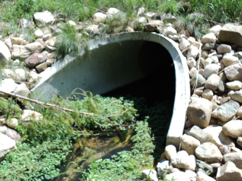
Inlet
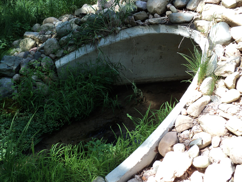
Outlet
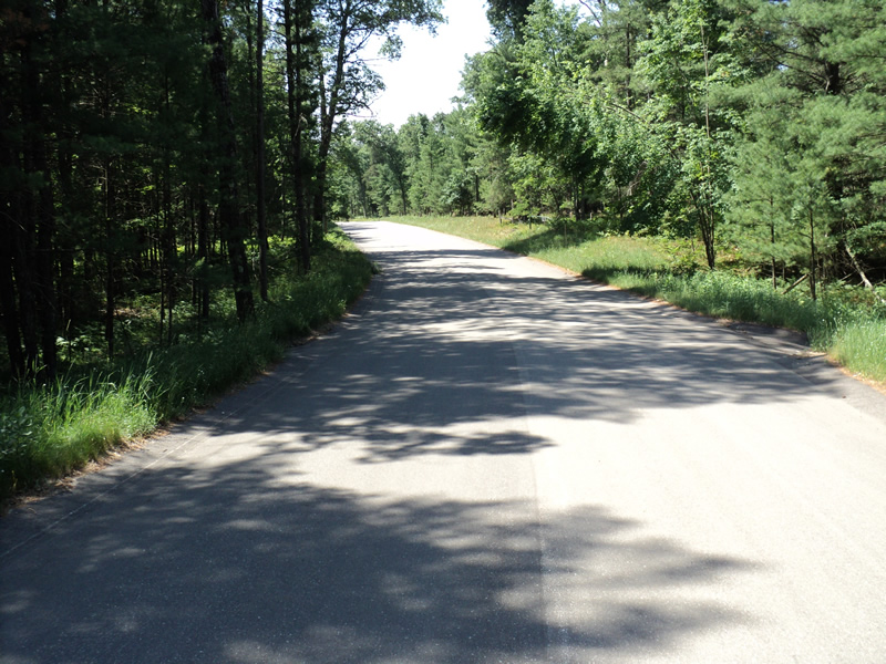
Upstream Conditions
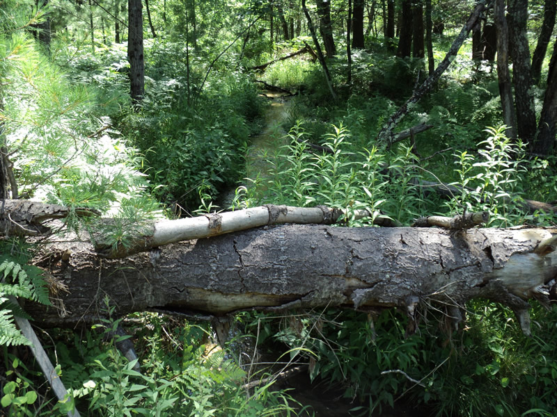
Downstream Conditions
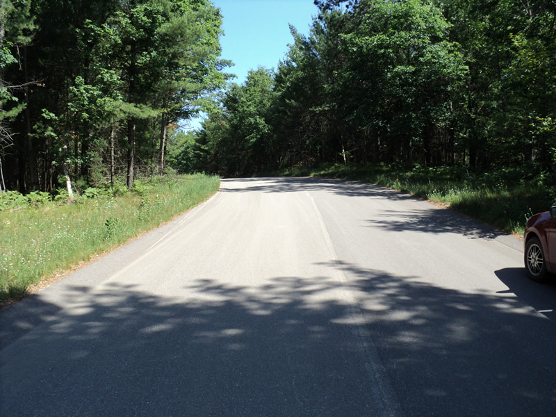
Road Approach - Left
Road Approach - Right
Crossing Information
Type of Crossing: culvert(s)
Number of Structures: 1
Structure Shape: Round
Inlet Type: Apron
Outlet Type: Outlet Apron
Structure Material: Concrete
Structure Substrate: Mixture
General Conditions: New
Structure Interior: smooth
Dimensions of Structure: Length 65 ft.
, Width 2 ft.
, Height 2 ft.
Structure Inlet
Water Depth: 0.4 ft.
Embedded Depth of Structure: 0.1 ft.
Water Velocity*: 1 ft./sec.
Structure Outlet
Water Depth: 0.3 ft.
Embedded Depth of Structure: 0.2 ft.
Water Velocity*: 1.1 ft./sec.
*Water Velocities were measured at the Surface
(with Meter)
Stream Information
Stream Flow: Less than 1/2 Bankfull
Riffle Information
Water Depth: 0.3 ft.
Bankfull Width: 6 ft.
Wetted Width: 3 ft.
Water Velocity: 1.3 ft./sec.
(Measured with Meter)
Dominant Substrate: Gravel
Road Information
Paved
County Road
Road Condition: Good
Road Width at Culvert: 25 ft.
Location of Low Point: At Stream
Runoff Path: Roadway
Embankments
Upstream
Fill Depth: 2.5 ft.
Slope: 1:2
Downstream
Fill Depth: 1.5 ft.
Slope: More than 1:2
Approaches
Left Approach
Length: 85 ft.
Slope: 6% to 10%
Vegetation: Heavy
LS Factor: 0.936
Erosion: 0.0658 tons/year
Right Approach
Length: 220 ft.
Slope: 6% to 10%
Vegetation: Heavy
LS Factor: 1.266
Erosion: 0.2302 tons/year
Erosion Information
Total Erosion at Crossing: 0.2959 tons/year
Extent of Erosion: Moderate
Summary Information
Erosion is an area of concern for this site.
�