Road Stream Crossing Site PM_L045
Pere Marquette River Watershed, Middle Branch tributary
Baker Rd
Chase Twp,
Lake County
Information collected by:
Site Location
GPS Coordinates: 43.88103
, -85.65222
T17N
R11W
Sec 8
Owned by Private
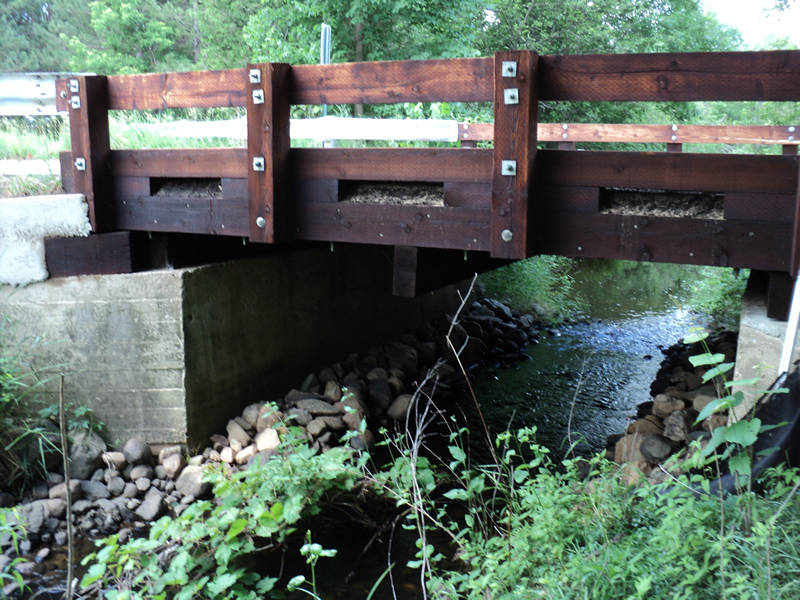
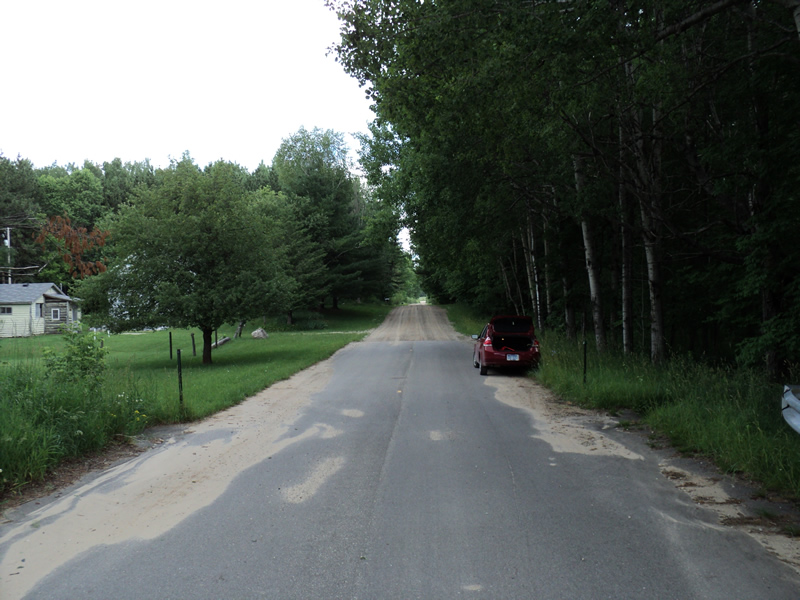
Inlet
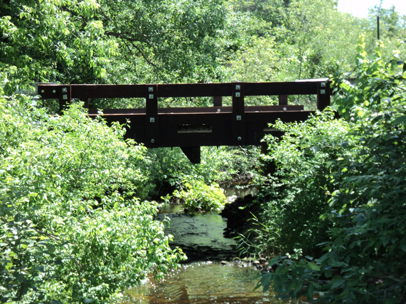
Outlet
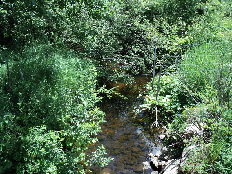
Upstream Conditions
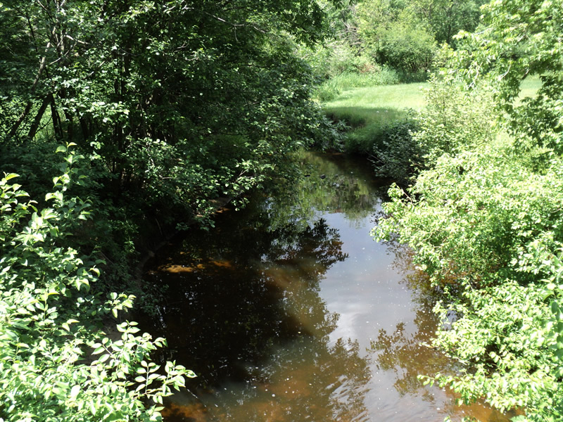
Downstream Conditions
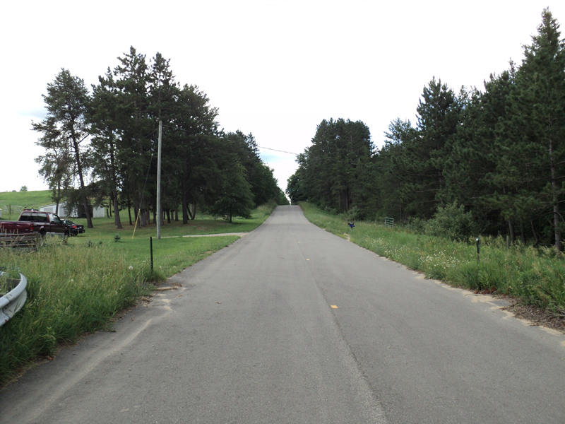
Road Approach - Left
Road Approach - Right
Crossing Information
Type of Crossing: Bridge
Structure Shape: Open Bottom Square/Rectangle
Inlet Type: Wingwall 30-70 Degree
Outlet Type: At Stream Grade
Structure Material: Concrete
Structure Substrate: Mixture
General Conditions: New
Structure Interior: smooth
Dimensions of Structure: Length 13 ft.
, Width 18 ft.
, Height 8.5 ft.
Structure Inlet
Water Depth: 0.5 ft.
Water Velocity*: 1.1 ft./sec.
Structure Outlet
Water Depth: 0.4 ft.
Water Velocity*: 2.1 ft./sec.
*Water Velocities were measured 0.5 ft. below Surface
(with Meter)
Additional Comments
Gravel road with new paved approaches paved spillways full of sand.
Stream Information
Stream Flow: Less than 1/2 Bankfull
Scour Pool: Length 30 ft.
, Width 17 ft.
, Depth 4 ft.
Riffle Information
Water Depth: 0.4 ft.
Bankfull Width: 18 ft.
Wetted Width: 11 ft.
Water Velocity: 0.4 ft./sec.
(Measured with Meter)
Dominant Substrate: Gravel
Road Information
Paved
County Road
Road Condition: Good
Road Width at Culvert: 13 ft.
Location of Low Point: At Stream
Runoff Path: Roadway
Slope: Vertical
Slope: Vertical
Approaches
Left Approach
Length: 400 ft.
Slope: 6% to 10%
Vegetation: Heavy
LS Factor: 1.53
Erosion: 0.263 tons/year
Right Approach
Length: 240 ft.
Slope: 1% to 5%
Vegetation: Heavy
LS Factor: 0.438
Erosion: 0.0452 tons/year
Erosion Information
Total Erosion at Crossing: 0.3357 tons/year
Extent of Erosion: Minor
Location of Erosion | Erosion Dimensions | Eroded Material | Material Eroded | Total Erosion | ||
facing downstream | Length | Width | Depth | Reaching Stream? | (tons/year) | |
Right Approach |
100 ft. |
1 ft. |
0.1 ft. |
yes |
Sand |
0.011 |
Summary Information
Erosion is an area of concern for this site.
�