Road Stream Crossing Site PM_L065
Pere Marquette River Watershed, Sanborn Creek
40th St
Cherry Valley Twp,
Lake County
Information collected by:
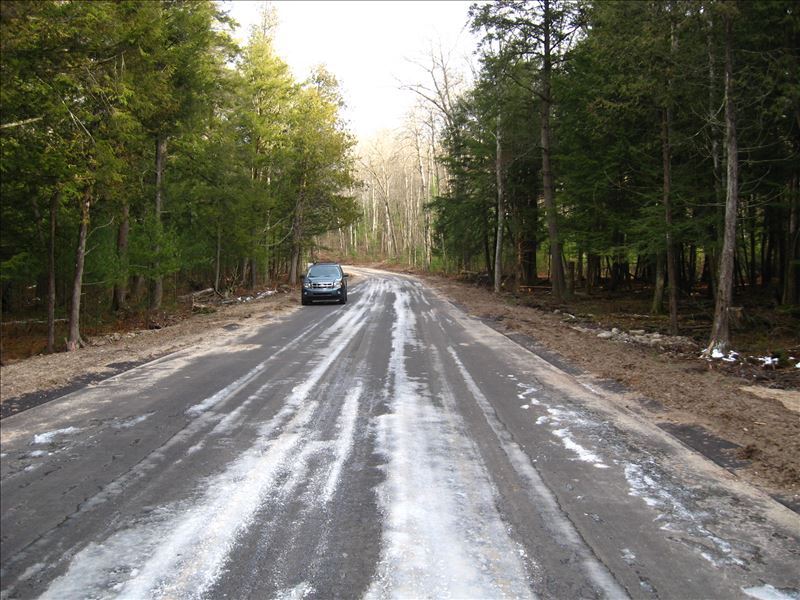
Site Location
GPS Coordinates: 43.916196
, -85.696964
T18N
R12W
Sec 36
Owned by Private
State
State
Site ID
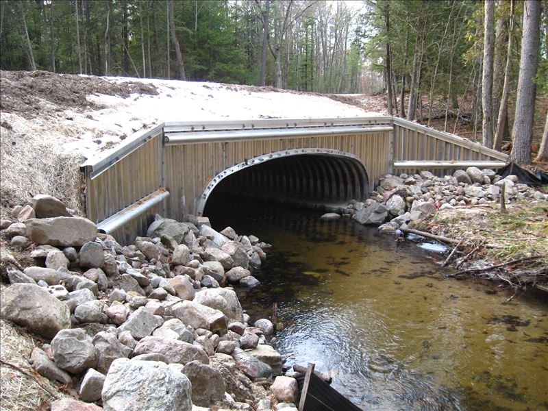
Outlet
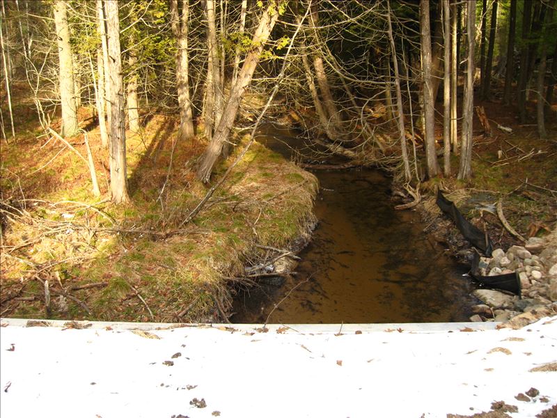
Upstream Conditions
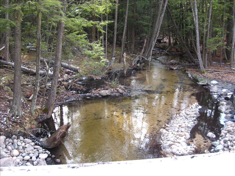
Downstream Conditions
Road Approach - Left
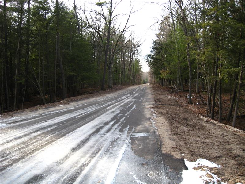
Road Approach - Right
Crossing Information
Type of Crossing: culvert(s)
Structure Shape: Open Bottom Arch
Inlet Type: Wingwall 30-70 Degree
Outlet Type: At Stream Grade
Structure Material: Metal
Structure Substrate: Mixture
General Conditions: New
Multiple Culverts/Spans | ||||
Culvert/Span | Width | Length | Height | Material |
1 |
16.5 ft. |
58.5 ft. |
5.8 ft. |
Metal |
Structure Interior: corrugated
Dimensions of Structure: Length 58.5 ft.
, Width 16.5 ft.
, Height 5.8 ft.
Structure Inlet
Water Depth: 1.3 ft.
Embedded Depth of Structure: 0 ft.
Water Velocity*: 1.2 ft./sec.
Structure Outlet
Water Depth: 1.2 ft.
Embedded Depth of Structure: 0 ft.
Water Velocity*: 1.5 ft./sec.
*Water Velocities were measured 0.9 ft. below Surface
(with Meter)
Additional Comments
Site constructed & restored summer 2014, along with L067.
Stream Information
Stream Flow: Less than Bankfull
Riffle Information
Water Depth: 1 ft.
Bankfull Width: 14 ft.
Wetted Width: 10 ft.
Water Velocity: 1 ft./sec.
(Measured with Meter)
Dominant Substrate: Sand
Road Information
Paved
County Road
Road Condition: Good
Road Width at Culvert: 22 ft.
Location of Low Point: At Stream
Runoff Path: Roadway
Embankments
Upstream
Fill Depth: 3 ft.
Slope: More than 1:2
Downstream
Fill Depth: 2.5 ft.
Slope: More than 1:2
Approaches
Left Approach
Length: 225 ft.
Slope: 1% to 5%
Vegetation: Partial
LS Factor: 0.5
Erosion: 0.5888 tons/year
Right Approach
Length: 275 ft.
Slope: 1% to 5%
Vegetation: Partial
LS Factor: 0.535
Erosion: 0.7701 tons/year
Erosion Information
Total Erosion at Crossing: 1.3589 tons/year
Extent of Erosion: Stabilized
Summary Information
Erosion is an area of concern for this site.
�