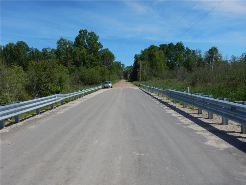
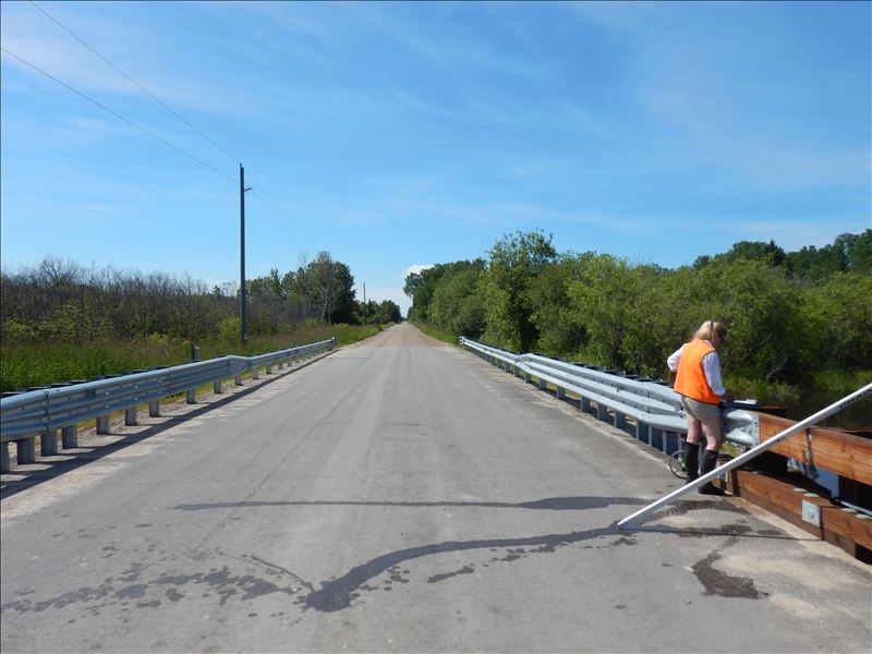
Road Stream Crossing Site BL-50
Maple River Watershed, Van Creek
Reed rd
McKinley Twp,
Emmet County
Information collected by:
Site Location
GPS Coordinates: 45.611562
, -84.792392
T37N
R03W
Sec 10
Owned by Private
Inlet
Outlet
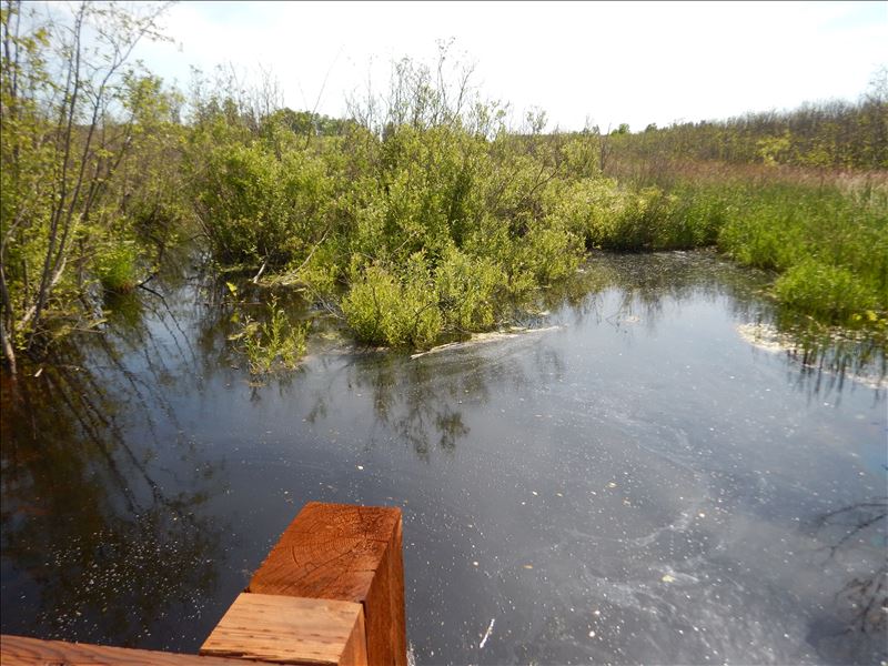
Downstream Conditions
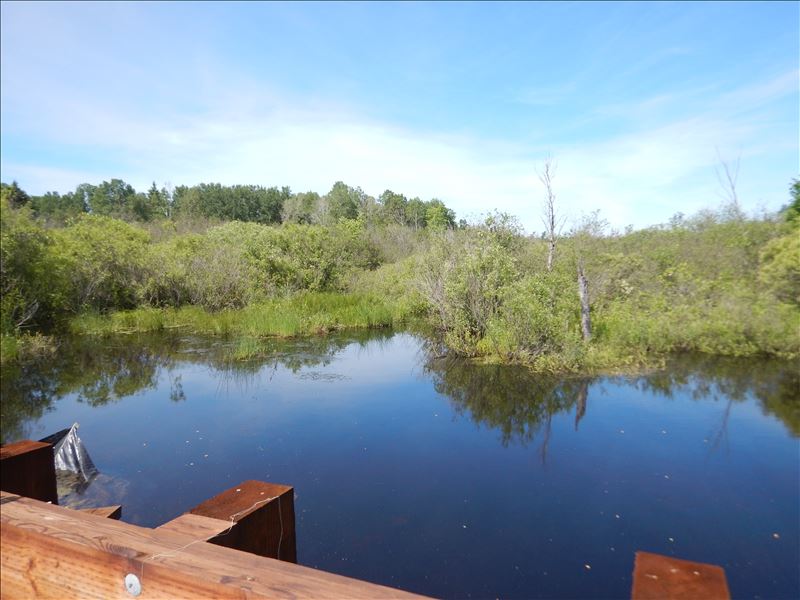
Upstream Conditions
Road Approach - Left
Road Approach - Right
Crossing Information
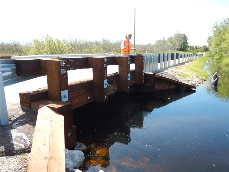
Type of Crossing: Bridge
Structure Shape: Open Bottom Square/Rectangle
Inlet Type: Wingwall 10-30 Degree
Outlet Type: At Stream Grade
Structure Material: Wood
Structure Substrate: Rock
General Conditions: New
Structure Interior: smooth
Dimensions of Structure: Length 17 ft.
, Width 26 ft.
, Height 5 ft.
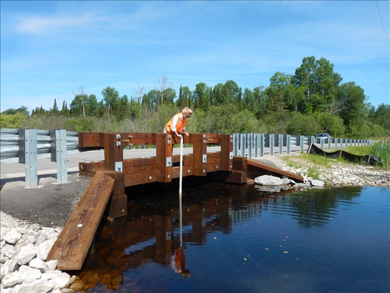
Structure Inlet
Water Depth: 3.5 ft.
Embedded Depth of Structure: 0 ft.
Water Velocity*: 0.1 ft./sec.
Structure Outlet
Water Depth: 3.5 ft.
Embedded Depth of Structure: 0 ft.
Water Velocity*: 0.1 ft./sec.
*Water Velocities were measured 0.1 ft. below Surface
(with Float Test)
Stream Information
Stream Flow: More than Bankfull
Riffle Information
Water Depth: 0 ft.
Bankfull Width: 0 ft.
Wetted Width: 0 ft.
(Measured with Meter)
Dominant Substrate: Organics
Road Information
Paved
County Road
Road Condition: Good
Road Width at Culvert: 23 ft.
Location of Low Point: Other
Runoff Path: Ditch
Fill Depth: 0 ft.
Slope: More than 1:2
Fill Depth: 0 ft.
Slope: More than 1:2
Approaches
Left Approach
Length: 500 ft.
Slope: 1% to 5%
Vegetation: Partial
LS Factor: 0.64
Erosion: 0.2433 tons/year
Right Approach
Length: 500 ft.
Slope: 1% to 5%
Vegetation: Partial
LS Factor: 0.64
Erosion: 0.2433 tons/year
Erosion Information
Total Erosion at Crossing: 0.4866 tons/year
Extent of Erosion: Stabilized
Summary Information
Fish Passage is an area of concern for this site.
�